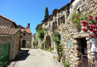
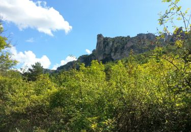
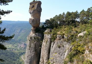
10.1 km | 18.8 km-effort
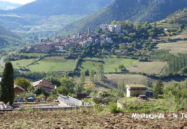
peyrelade boyne mostuejouls les agudes
nanie
User
Length
15.4 km
Max alt
869 m
Uphill gradient
1028 m
Km-Effort
29 km
Min alt
381 m
Downhill gradient
890 m
Boucle
No
Creation date :
2015-10-15 00:00:00.0
Updated on :
2015-10-15 00:00:00.0
5h49
Difficulty : Difficult
FREE GPS app for hiking
About
Trail Walking of 15.4 km to be discovered at Occitania, Aveyron, Rivière-sur-Tarn. This trail is proposed by nanie.
Positioning
Country:
France
Region :
Occitania
Department/Province :
Aveyron
Municipality :
Rivière-sur-Tarn
Location:
Unknown
Start:(Dec)
Start:(UTM)
512206 ; 4892879 (31T) N.
Comments
Trails nearby
12 vase de Sèvres Chine ch. brunet
Walking
Medium
(1)
Le Rozier,
Occitania,
Lozère,
France
5h 40min
Yes
Cirque de Saint Marcellin - Mostuéjouls - Liaucous
Walking
Medium
(1)
Mostuéjouls,
Occitania,
Aveyron,
France
15.4 km | 24 km-effort
5h 0min
Yes
Causse et gorges au pays des vautours
Walking
Difficult
Le Rozier,
Occitania,
Lozère,
France
27 km | 40 km-effort
7h 48min
No
Grands Causses - Peyrelade - Chateau-vignes-forêt - 2016 09 09
Walking
Medium
Rivière-sur-Tarn,
Occitania,
Aveyron,
France
9.9 km | 15.2 km-effort
3h 30min
Yes
Grands Causses - Peyreleau - Corniches du Causse Noir- 2016 09 06
Walking
Difficult
Peyreleau,
Occitania,
Aveyron,
France
12.5 km | 21 km-effort
6h 40min
Yes
Grands Causses - Liaucous - St-Marcellin - 2016 07 04 - 680m 14,3km
Walking
Medium
Mostuéjouls,
Occitania,
Aveyron,
France
14.3 km | 21 km-effort
4h 50min
Yes
Grands Causses - Gorges de la Jonte - Peyreleau
Walking
Easy
Peyreleau,
Occitania,
Aveyron,
France
9 km | 12.9 km-effort
3h 25min
Yes
Grands Causses - Causse Méjean - Vautours
Walking
Difficult
Le Rozier,
Occitania,
Lozère,
France
12.5 km | 23 km-effort
4h 50min
Yes
Sur Les Hauteurs De Peyreleau
Walking
Difficult
(2)
Le Rozier,
Occitania,
Lozère,
France
10.4 km | 18.2 km-effort
4h 0min
Yes