


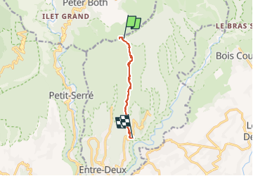

11.9 km | 24 km-effort


User


FREE GPS app for hiking
 SityTrail
IGN / Geographical institutes
SityTrail World
The world is yours!
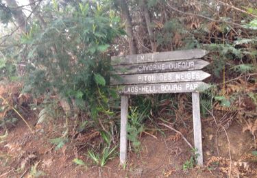
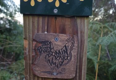
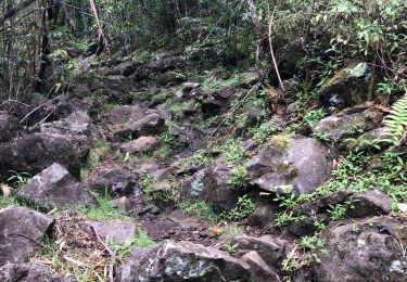
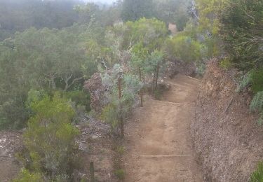
Trail Walking of 7.7 km to be discovered at Réunion, Unknown, Entre-Deux. This trail is proposed by Fdum.
Après la montée en 4X4, vous pouvez descendre le Dimitile par le sentier de la jument. En haut de tardé pas trop à la visite du camp marron, car les nuages arrivent trop vite...

Walking
Walking
Walking
Walking

Walking
Walking

Walking


Walking