


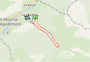

19.8 km | 46 km-effort

User


FREE GPS app for hiking
 SityTrail
IGN / Geographical institutes
SityTrail World
The world is yours!
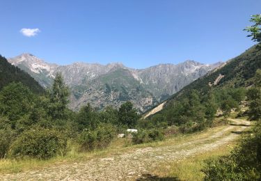
Trail Walking of 6.5 km to be discovered at Provence-Alpes-Côte d'Azur, Hautes-Alpes, Saint-Maurice-en-Valgodemard. This trail is proposed by Dervalmarc.
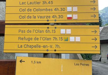
Attention versant ubac pour la descente passage en partie éboule sur le chemin du retour en plusieurs endroits.


Walking

Walking
Walking
Walking
Walking
Walking
Walking
Walking
Walking