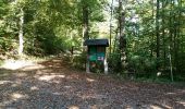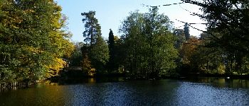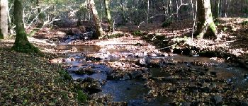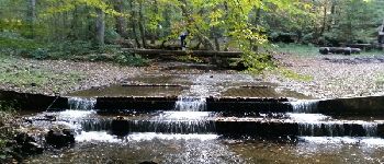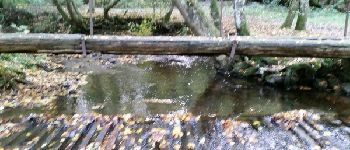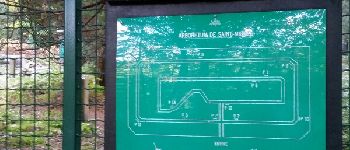

FOURNEAU St-Michel ( Al Pèle)

GerardBouche
User

Length
10.9 km

Max alt
519 m

Uphill gradient
241 m

Km-Effort
14.1 km

Min alt
299 m

Downhill gradient
232 m
Boucle
Yes
Creation date :
2017-03-24 00:00:00.0
Updated on :
2017-03-24 00:00:00.0
3h03
Difficulty : Easy

FREE GPS app for hiking
About
Trail Walking of 10.9 km to be discovered at Wallonia, Luxembourg, Saint-Hubert. This trail is proposed by GerardBouche.
Description
Départ de la brasserie "Al Pèle " par l'arboretum-> le passage à gué et suivre la Masblette par le Tier des Grippes. Retour par le Ri du Pied de Boeuf et Plain St-Michel.
Points of interest
Positioning
Country:
Belgium
Region :
Wallonia
Department/Province :
Luxembourg
Municipality :
Saint-Hubert
Location:
Saint-Hubert
Start:(Dec)
Start:(UTM)
667488 ; 5550451 (31U) N.
Comments
Trails nearby
Saint-Hubert - Les Abanages (SH03)


Walking
Difficult
(13)
Saint-Hubert,
Wallonia,
Luxembourg,
Belgium

9.8 km | 13.1 km-effort
2h 49min
Yes

GG-Lu-13_Grupont - Poix-Saint-Hubert


Walking
Very difficult
(3)
Tellin,
Wallonia,
Luxembourg,
Belgium

26 km | 34 km-effort
7h 23min
No

Balade à Grupont


Walking
Easy
(1)
Tellin,
Wallonia,
Luxembourg,
Belgium

8.4 km | 11.9 km-effort
2h 33min
Yes
Grupont - Promenade du Bois du Machi (EN)


Walking
Medium
(1)
Tellin,
Wallonia,
Luxembourg,
Belgium

8.6 km | 12.6 km-effort
2h 37min
Yes

Saint-Hubert - Circuit Natura 2000, des sites qui valent le détour - Lx16


Walking
Medium
(3)
Saint-Hubert,
Wallonia,
Luxembourg,
Belgium

9.8 km | 13 km-effort
1h 11min
Yes
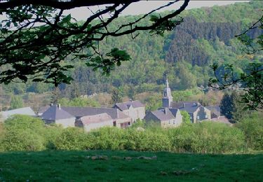
RB-LUX-07- Raccourci - En musardant entre Lhomme et Masblette, entre ri de Wa...


Walking
Medium
(4)
Nassogne,
Wallonia,
Luxembourg,
Belgium

20 km | 29 km-effort
6h 0min
Yes
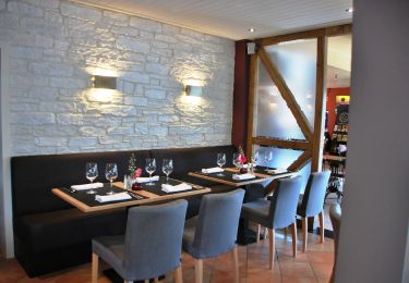
Massif de Nassogne


Cycle
Medium
(3)
Nassogne,
Wallonia,
Luxembourg,
Belgium

14.2 km | 19 km-effort
1h 4min
Yes

Massif de Nassogne : variante 1


Cycle
Medium
(1)
Nassogne,
Wallonia,
Luxembourg,
Belgium

6.4 km | 8.1 km-effort
27min
Yes

nassogne ac


Walking
Medium
(1)
Nassogne,
Wallonia,
Luxembourg,
Belgium

39 km | 48 km-effort
5h 30min
No


 SityTrail


