


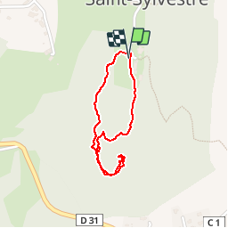


13.4 km | 17.6 km-effort

User GUIDE


FREE GPS app for hiking
 SityTrail
IGN / Geographical institutes
SityTrail World
The world is yours!
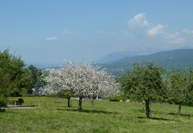
Trail Walking of 1.6 km to be discovered at Auvergne-Rhône-Alpes, Upper Savoy, Saint-Sylvestre. This trail is proposed by HERRY.
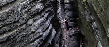
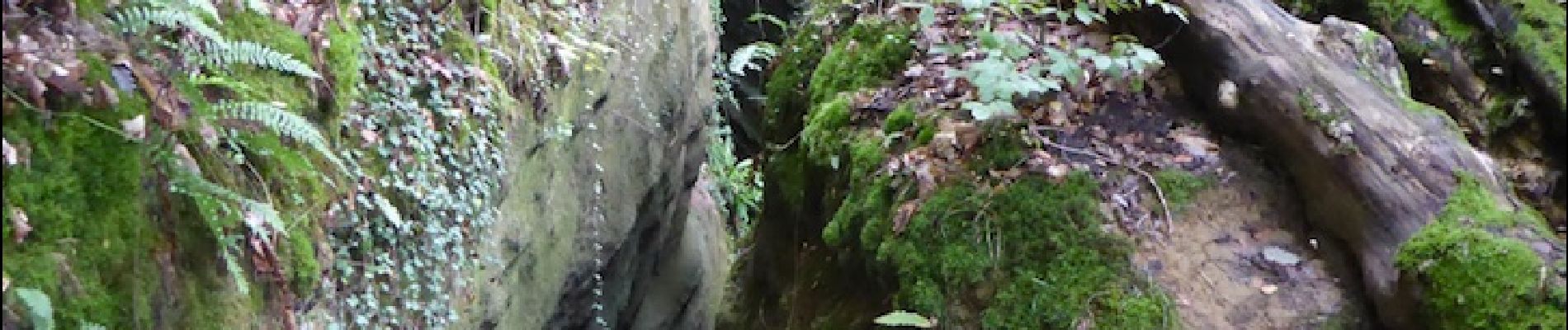
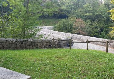
la curiosité géologique de cette randonnée compense la durée assez courte (1H AR). Les failles sont dues à l'accumulation de sable aggloméré provenant de l'ancienne mer Thétys. Au cours des ères géologiques le travail des plaques ainsi que celui des glaciers a relevé ,fissuré cet agglomérat puis creusé et érodé comme on peut le voir aujourd'hui.
Pour y accéder se garer près de l'Eglise puis descendre vers l'école pour atteindre une chapelle. Rester sur le chemin de droite qui en 15 minutes vous amène au niveau des failles. Attention le terrain peut-être glissant. Il est déconseillé d'amener de jeunes enfants. La prudence est de mise tout au long du chemin


Mountain bike
Walking
Walking
Mountain bike

Walking
Mountain bike

Walking

Walking

Walking