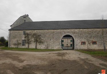
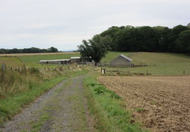
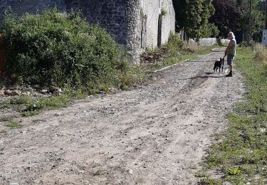
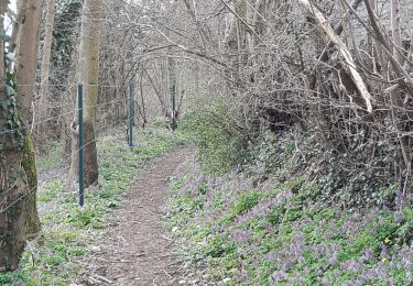
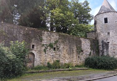
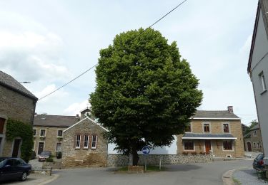
Trail Walking Tinlot - TINLOT - Promenade du D'Zy - Photo

TINLOT - Promenade du D'Zy

© OpenStreetMap contributors
Length
Length
12.3 km
Max alt
Max alt
303 m
Uphill gradient
Uphill gradient
191 m
Km-Effort
Km-Effort  
14.8 km
Min alt
Min alt
234 m
Downhill gradient
Downhill gradient
193 m
Boucle
Boucle
Yes
Signpost
Signpost
Creation date :
2014-12-10 00:00:00.0
Updated on :
2014-12-10 00:00:00.0

(0 Reviews)

Walking
Walking
3h14
Difficulty : Medium

Scan this QR Code to open this trail in the SityTrail application

FREE GPS app for hiking

Logo SityTrail SityTrail

IGN / Geographical institutes

Download SityTrail from the App Store Download SityTrail from Google Play

Logo SityTrail SityTrail World

The world is yours!

Download SityTrail from the App Store Download SityTrail from Google Play Download SityTrail on Huawei AppGallery

About

Trail Walking of 12.3 km to be discovered at Wallonia, Liège, Tinlot. This trail is proposed by henrineupre.

Description

Lors de votre promenade, il vous sera possible de voir l’église Saint-Remacle ainsi que quelques chapelles. Vous trouverez également un camping sur le chemin. Celui-ci a été érigé sur les ruines de l’ancien château qui a brûlé en 1963. Sur le parcours de votre promenade, le bois de l’Herberain offre de beaux paysages boisés.

Balise: rectangle vert

Elevation profile

Photos

Points of interest

Point of interest Tinlot - Le D'Zy - Photo
henrineupre
TINLOT 
Point of interest Tinlot - Camping - Photo
henrineupre
TINLOT 
Point of interest Tinlot - Eglise Saint Remacle - Photo
henrineupre
Point of interest Tinlot - C.N.R.F - Photo
henrineupre
TINLOT 
Point of interest Tinlot - Borne seigneuriale - Photo
henrineupre
Point of interest Tinlot - Potale et banc - Photo
henrineupre
Point of interest Anthisnes - Château d'Houchenée - Photo
henrineupre
Point of interest Ouffet - Village d'Ellemelle - Photo
henrineupre
Point of interest Tinlot - Tige de l’Herberain - Photo
henrineupre
Point of interest Tinlot - Selon la légende... - Photo
henrineupre

Positioning

Country:
Belgium
Region :
Wallonia
Department/Province :
Liège
Municipality :
Tinlot
Location:
Fraiture
Start:(UTM)
671270 ; 5594313 (31U) N.

Trails nearby

Trail Walking Anthisnes - RB-Lg-18_Tavier - Photo
Walking
PRO

Walking

Very difficult
(10)
Anthisnes, Wallonia, Liège, Belgium
22 km | 28 km-effort
6h 19min
Yes
Trail Walking Ouffet - Warzée - Photo
Walking
Jacques Guisse

Walking

Easy
(1)
Ouffet, Wallonia, Liège, Belgium
10.3 km | 12.4 km-effort
2h 28min
Yes
Trail Walking Ouffet - ouffet fermes ac + - Photo
Walking
colsonandre

Walking

Medium
(2)
Ouffet, Wallonia, Liège, Belgium
8.6 km | 10.7 km-effort
2h 41min
Yes
Trail Walking Nandrin - Villers le temple  .  st jean sart  .  clemaude  - Photo
Walking
GUIDE
stef789

Walking

Very easy
(1)
Nandrin, Wallonia, Liège, Belgium
7.9 km | 10.4 km-effort
2h 12min
Yes
Trail Mountain bike Anthisnes - première rando anthisne tavier - Photo
Mountain bike
Amby

Mountain bike

Medium
(1)
Anthisnes, Wallonia, Liège, Belgium
10.2 km | 13.4 km-effort
1h 8min
Yes
Trail Walking Nandrin - promenade de la rochette : villers le temple - grand fond d'oxhe - villers le temple - Photo
Walking
GUIDE
stef789

Walking

Medium
(1)
Nandrin, Wallonia, Liège, Belgium
10 km | 13.3 km-effort
2h 47min
Yes
Trail On foot Ouffet - 2. Balade des Loups - Photo
On foot
GUIDE+

On foot

Easy
Ouffet, Wallonia, Liège, Belgium
11.6 km | 13.8 km-effort
3h 7min
Yes
Trail On foot Anthisnes - AS06 Boucle des Sarts - Photo
On foot
GUIDE+

On foot

Easy
Anthisnes, Wallonia, Liège, Belgium
10.9 km | 13.6 km-effort
3h 4min
Yes
Trail Walking Nandrin - Balade des bois de Yernée - Photo
Walking
floflo61

Walking

Easy
(1)
Nandrin, Wallonia, Liège, Belgium
9.1 km | 11.8 km-effort
2h 9min
Yes


Close
My subscriptions