


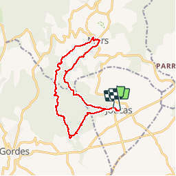


8.6 km | 11.9 km-effort

User


FREE GPS app for hiking
 SityTrail
IGN / Geographical institutes
SityTrail World
The world is yours!
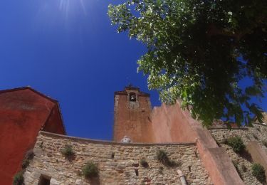
Trail Walking of 16.9 km to be discovered at Provence-Alpes-Côte d'Azur, Vaucluse, Joucas. This trail is proposed by chrifor.
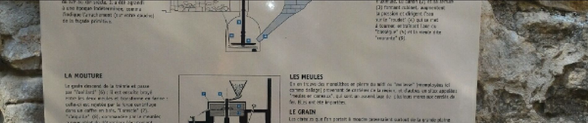
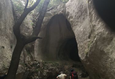
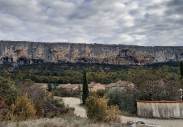
Agréable randonnée dans le lit(à sec!) de la Véroncle jalonné par les ruines d'anciens moulins à grains. A éviter après de grosses pluies.


Walking

Walking

On foot
Walking

Walking

Mountain bike
Mountain bike

Mountain bike

Walking