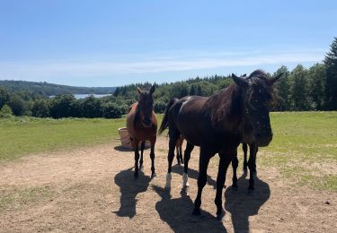
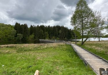
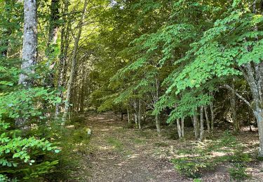
13 km | 17.5 km-effort
deux digues
fanthou
User
Length
6.8 km
Max alt
702 m
Uphill gradient
184 m
Km-Effort
9.3 km
Min alt
622 m
Downhill gradient
184 m
Boucle
Yes
Creation date :
2015-10-02 00:00:00.0
Updated on :
2015-10-02 00:00:00.0
1h59
Difficulty : Easy
FREE GPS app for hiking
About
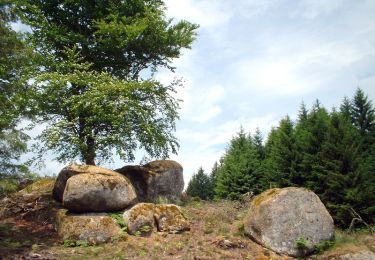
Trail Walking of 6.8 km to be discovered at New Aquitaine, Creuse, Royère-de-Vassivière. This trail is proposed by fanthou.
Positioning
Country:
France
Region :
New Aquitaine
Department/Province :
Creuse
Municipality :
Royère-de-Vassivière
Location:
Unknown
Start:(Dec)
Start:(UTM)
411527 ; 5074488 (31T) N.
Comments
Trails nearby
variante Chataignoux
Walking
Easy
(1)
Royère-de-Vassivière,
New Aquitaine,
Creuse,
France
6.9 km | 9.2 km-effort
2h 22min
Yes
Boucle du Lac de Vassivière
Walking
Medium
Royère-de-Vassivière,
New Aquitaine,
Creuse,
France
28 km | 33 km-effort
4h 36min
Yes
Tour du lac de Vassiviere
sport
Very easy
Faux-la-Montagne,
New Aquitaine,
Creuse,
France
31 km | 38 km-effort
Unknown
Yes
St Martin Chateau à Eymoutiers
Walking
Medium
Saint-Martin-Château,
New Aquitaine,
Creuse,
France
26 km | 35 km-effort
6h 39min
No
Tour de l’ Île de Vassivière et presqu’île
Walking
Easy
(1)
Beaumont-du-Lac,
New Aquitaine,
Haute-Vienne,
France
7.7 km | 9.6 km-effort
1h 31min
Yes
lac de vassivière
Walking
Very difficult
(2)
Peyrat-le-Château,
New Aquitaine,
Haute-Vienne,
France
38 km | 49 km-effort
10h 25min
Yes
jour 17 CAP Jeanot
Running
Very easy
Royère-de-Vassivière,
New Aquitaine,
Creuse,
France
32 km | 41 km-effort
3h 19min
No
Vassivière
Walking
Medium
(1)
Royère-de-Vassivière,
New Aquitaine,
Creuse,
France
20 km | 25 km-effort
5h 29min
Yes