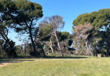
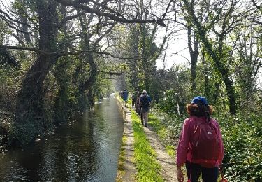
Trail Walking Villeneuve-de-la-Raho - 66 VILLENEUVE-DE-LA-RAHO - grand tour périphérique du lac par les lignes de crêtes  - Photo

66 VILLENEUVE-DE-LA-RAHO - grand tour périphérique du lac par les lignes de crêtes

 jeff66
jeff66

User

© OpenStreetMap contributors
Length
Length
10 km
Max alt
Max alt
52 m
Uphill gradient
Uphill gradient
110 m
Km-Effort
Km-Effort  
11.5 km
Min alt
Min alt
12 m
Downhill gradient
Downhill gradient
112 m
Boucle
Boucle
Yes
Creation date :
2015-09-30 00:00:00.0
Updated on :
2015-09-30 00:00:00.0

(2 Reviews)

Walking
Walking
1h44
Difficulty : Easy

Scan this QR Code to open this trail in the SityTrail application

FREE GPS app for hiking

Logo SityTrail SityTrail

IGN / Geographical institutes

Download SityTrail from the App Store Download SityTrail from Google Play

Logo SityTrail SityTrail World

The world is yours!

Download SityTrail from the App Store Download SityTrail from Google Play Download SityTrail on Huawei AppGallery

About

Trail Walking of 10 km to be discovered at Occitania, Pyrénées-Orientales, Villeneuve-de-la-Raho. This trail is proposed by jeff66.

Description

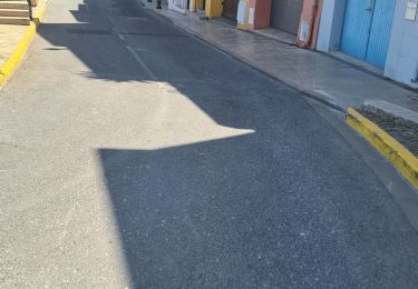
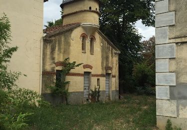
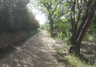
66 VILLENEUVE-DE-LA-RAHO parking du lac côté Mas Richemont, emprunter la RD39, puis prendre la route en direction de la base nautique - prendre à droite le chemin de terre qui monte vers la crête - réserve écologique - domaine monplaisir propriétaire Joseph Puech - Vulpillères - la Llantia - els Estanyots - stade André Sanac, salle polyvalente, boulodrome, tennis club - quartier de val Marie - ancien stade - la colomina - quartier le val des vignes - rues Joseph Cazeilles, des sports, du Château d'Eau, espace jean Malé, rue de la tramontane,
Cimetiere, table d'orientation. Rue Gustave Violet, avenue du 8 Mai, rues du général Leclerc et du maréchal Joffre, pinède, traverser la RD39 pour arriver au parking

Elevation profile

Positioning

Country:
France
Region :
Occitania
Department/Province :
Pyrénées-Orientales
Municipality :
Villeneuve-de-la-Raho
Location:
Unknown
Start:(UTM)
492299 ; 4721003 (31T) N.

Comments

Please log in to post a review or rate the element


très bien. je me suis régalée Sabrinasabrinalx66@gmail.com


Très belle rando jamais bien loin du lac mais en surplomb. Quelques passages en plein champ.


Trails nearby

Trail Quad Montescot -  Villeneuve-de-la-Raho-Collioure (Septembre/Juin) - Photo
Quad
Quad Ride

Quad

Medium
(1)
Montescot, Occitania, Pyrénées-Orientales, France
33 km | 40 km-effort
1h 45min
No
Trail Walking Montescot - 66 VILLENEUVE-DE-LA-RAHO grand tour du lac en Sens horaire  - Photo
Walking
jeff66

Walking

Easy
(1)
Montescot, Occitania, Pyrénées-Orientales, France
6.7 km | 7.5 km-effort
1h 4min
Yes
Trail Walking Théza - 66 THEZA - CORNEILLA-DEL-VERCOL - Photo
Walking
jeff66

Walking

Easy
(2)
Théza, Occitania, Pyrénées-Orientales, France
7 km | 7.5 km-effort
1h 8min
Yes
Trail Walking Saleilles - 66 SALEILLES - St-NAZAIRE, entre FOSSEILLE et REART - Photo
Walking
jeff66

Walking

Easy
(1)
Saleilles, Occitania, Pyrénées-Orientales, France
7.3 km | 7.7 km-effort
1h 8min
Yes
Trail Quad Villeneuve-de-la-Raho - Villeneuve-de-la-Raho-Collioure(Juillet-Aout) - Photo
Quad
Quad Ride

Quad

Very easy
(1)
Villeneuve-de-la-Raho, Occitania, Pyrénées-Orientales, France
39 km | 44 km-effort
1h 40min
No
Trail Walking Cabestany - cabestany - Photo
Walking
66Gribouille83

Walking

Medium
Cabestany, Occitania, Pyrénées-Orientales, France
7.5 km | 8.2 km-effort
2h 35min
Yes
Trail Walking Corneilla-del-Vercol - thématique mo tescot du 18 02 2023 - Photo
Walking
66Gribouille83

Walking

Medium
(1)
Corneilla-del-Vercol, Occitania, Pyrénées-Orientales, France
8.9 km | 9.4 km-effort
1h 57min
Yes
Trail Walking Perpignan - Perpignan  - Photo
Walking
ombrabella

Walking

Very easy
Perpignan, Occitania, Pyrénées-Orientales, France
18 km | 19.9 km-effort
2h 23min
No
Trail Walking Perpignan - canal Perpignan  - Photo
Walking
Fildesir

Walking

Very easy
Perpignan, Occitania, Pyrénées-Orientales, France
25 km | 27 km-effort
7h 29min
No


Close
My subscriptions