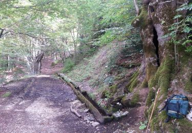
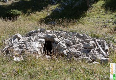
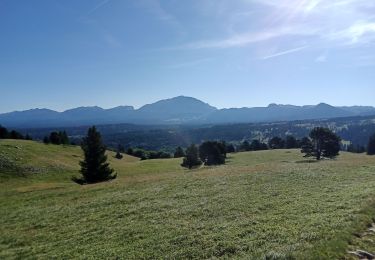
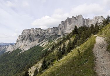
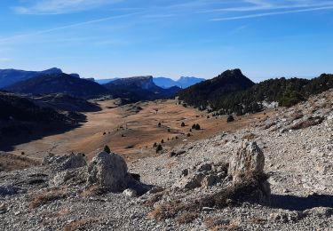
14.3 km | 31 km-effort
chichilianne pas de l'aiguille pas des bachassons
lmontbazon
User
Length
17.9 km
Max alt
1956 m
Uphill gradient
968 m
Km-Effort
31 km
Min alt
1070 m
Downhill gradient
982 m
Boucle
No
Creation date :
2015-09-28 00:00:00.0
Updated on :
2015-09-28 00:00:00.0
6h10
Difficulty : Medium
FREE GPS app for hiking
About
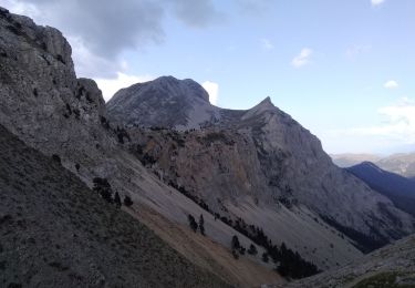
Trail Walking of 17.9 km to be discovered at Auvergne-Rhône-Alpes, Isère, Chichilianne. This trail is proposed by lmontbazon.
Positioning
Country:
France
Region :
Auvergne-Rhône-Alpes
Department/Province :
Isère
Municipality :
Chichilianne
Location:
Unknown
Start:(Dec)
Start:(UTM)
700867 ; 4966231 (31T) N.
Comments
Trails nearby
Grand Ceymont par la face Sud
Walking
Difficult
(1)
Saint-Michel-les-Portes,
Auvergne-Rhône-Alpes,
Isère,
France
6h 0min
Yes
Le Platary
Walking
Medium
(2)
Chichilianne,
Auvergne-Rhône-Alpes,
Isère,
France
6.6 km | 12.1 km-effort
2h 29min
Yes
La Fontaine Pourrie - Hauts Plateaux Sud du Vercors
Walking
Medium
(2)
Chichilianne,
Auvergne-Rhône-Alpes,
Isère,
France
19.4 km | 33 km-effort
7h 45min
Yes
traversée Sud nord du Grand Veymont
Walking
Difficult
Gresse-en-Vercors,
Auvergne-Rhône-Alpes,
Isère,
France
26 km | 40 km-effort
10h 42min
No
14923554-Tour du Mont Aiguille
Walking
Very difficult
(1)
Chichilianne,
Auvergne-Rhône-Alpes,
Isère,
France
17.7 km | 33 km-effort
7h 27min
Yes
chichilianne archiane
Snowshoes
Medium
(1)
Chichilianne,
Auvergne-Rhône-Alpes,
Isère,
France
18.9 km | 32 km-effort
8h 0min
No
Diois 2024 1ère journée
Walking
Medium
Chichilianne,
Auvergne-Rhône-Alpes,
Isère,
France
22 km | 35 km-effort
4h 59min
No
Esclops Trièves tour du goutaroux
Walking
Medium
Saint-Martin-de-Clelles,
Auvergne-Rhône-Alpes,
Isère,
France
11 km | 18.8 km-effort
4h 58min
Yes
Esclops Trièves Tour du Mont Aiguille
Walking
Difficult
Chichilianne,
Auvergne-Rhône-Alpes,
Isère,
France
16.6 km | 32 km-effort
7h 38min
Yes