Trail Walking Unknown - descente sommet - Photo
 dudu42
dudu42

User

© OpenStreetMap contributors
Length
Length
2.4 km
Uphill gradient
Uphill gradient
57 m
Km-Effort
Km-Effort  
4 km
Downhill gradient
Downhill gradient
310 m
Boucle
Boucle
No
Creation date :
2015-09-12 00:00:00.0
Updated on :
2015-09-12 00:00:00.0

(0 Reviews)

Walking
Walking
52m
Difficulty : Medium

Scan this QR Code to open this trail in the SityTrail application

FREE GPS app for hiking

Logo SityTrail SityTrail

IGN / Geographical institutes

Download SityTrail from the App Store Download SityTrail from Google Play

Logo SityTrail SityTrail World

The world is yours!

Download SityTrail from the App Store Download SityTrail from Google Play Download SityTrail on Huawei AppGallery

About

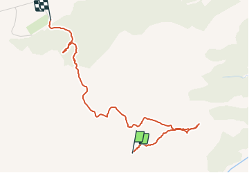
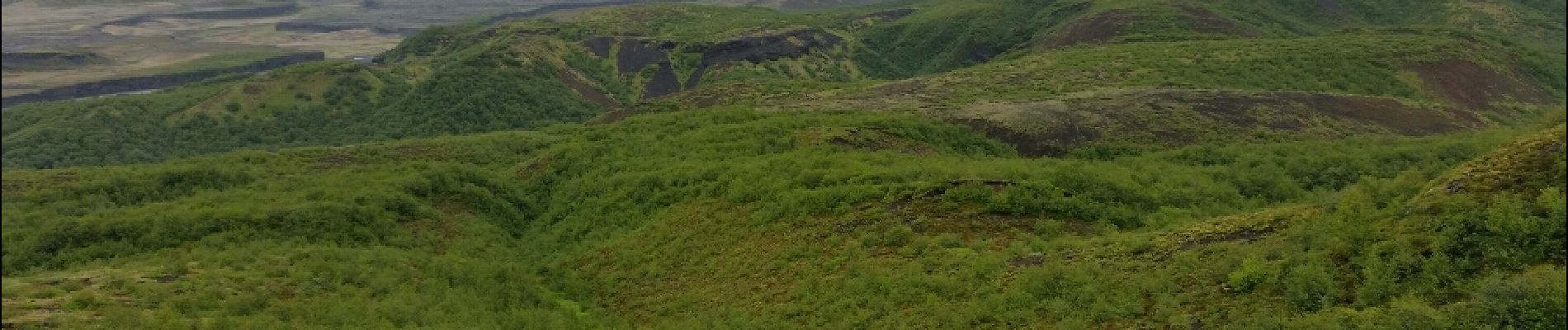
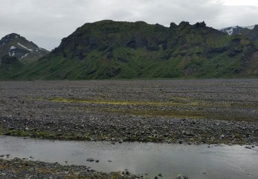
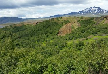
Trail Walking of 2.4 km to be discovered at Unknown, Rangárþing eystra. This trail is proposed by dudu42.

Elevation profile

Photos

Positioning

Country:
Iceland
Region :
Unknown
Department/Province :
Rangárþing eystra
Municipality :
Unknown
Location:
Unknown
Start:(UTM)
572686 ; 7062590 (27V) N.

Trails nearby

Trail Walking  - ascencion vers plateau de - Photo
Walking
dudu42

Walking

Difficult
, Unknown, Rangárþing eystra, Iceland
20 km | 31 km-effort
6h 31min
Yes
Trail Walking  - Tour de porsmork vers tindjallasleta - Photo
Walking
dudu42

Walking

Difficult
, Unknown, Rangárþing eystra, Iceland
14 km | 22 km-effort
4h 43min
Yes


Close
My subscriptions