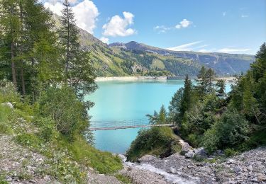
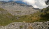
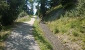
Trail Walking Crans-Montana - Aminona - Bisse de Tsittoret 09.09.15 - Photo

Aminona - Bisse de Tsittoret 09.09.15

 duamerg
duamerg

User

© OpenStreetMap contributors
Length
Length
14 km
Max alt
Max alt
2002 m
Uphill gradient
Uphill gradient
619 m
Km-Effort
Km-Effort  
22 km
Min alt
Min alt
1506 m
Downhill gradient
Downhill gradient
624 m
Boucle
Boucle
Yes
Creation date :
2015-09-09 00:00:00.0
Updated on :
2020-01-30 13:56:51.162

(0 Reviews)

Walking
Walking
4h20
Difficulty : Easy

Scan this QR Code to open this trail in the SityTrail application

FREE GPS app for hiking

Logo SityTrail SityTrail
IGN / Geographical institutes

Download SityTrail from the App Store Download SityTrail from Google Play

Logo SityTrail SityTrail World
The world is yours!

Download SityTrail from the App Store Download SityTrail from Google Play Download SityTrail on Huawei AppGallery

About

Trail Walking of 14 km to be discovered at Valais/Wallis, Sierre, Crans-Montana. This trail is proposed by duamerg.

Description

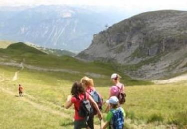
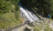
Laisser la voiture à Aminona en face de l'ancienne remontée mécanique. Monter jusqu'à Cave du Sex (restaurant). Là se trouve la première particularité du bisse qui se transforme en chute d'eau pour changer de niveau. Un autre dénivelé se trouve pas loin de la prise d'eau.
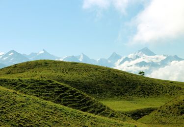
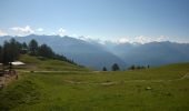
A Tièche le retour se fait par le haut en passant par la cabane, la Cave de Merdechon. Peu avant la redescente se trouve une place de pique nique avec la vue sur les alpes.
Rejoindre le bisse et le suivre. Ne pas prendre les bifurcations qui vous indiquent Plumachit mais continuer vers les Barzettes.
Cette partie du bisse est beaucoup plus sauvage avec un grand nivelé.
Vous rejoignez une route qui vous ramène à Plumachit ou vous trouverez à vous restaurer.
Il vous reste 45 minutes de descente pour rejoindre votre point de départ.
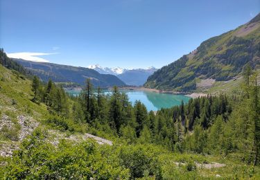
Très joli course, sans difficultés déjà à une certaine hauteur avec de jolis points de vue.

Elevation profile

Photos

Points of interest

Point of interest Crans-Montana - Cute d'eau et belle vue - Photo
duamerg
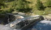
Point of interest Crans-Montana - autre chute d'eau du bisse - Photo
duamerg
Point of interest Crans-Montana - la prise d'eau et vue - Photo
duamerg
CRANS-MONTANA 
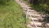
Point of interest Crans-Montana - forte déclivité - Photo
duamerg
CRANS-MONTANA 

Positioning

Country:
Switzerland
Region :
Valais/Wallis
Department/Province :
Sierre
Municipality :
Crans-Montana
Location:
Mollens (VS)
Start:(UTM)
386499 ; 5132004 (32T) N.

Trails nearby

Trail Walking Crans-Montana - Sentier de Huiton - Photo
Walking
GUIDE+

Walking

Very easy
(2)
Crans-Montana, Valais/Wallis, Sierre, Switzerland
7.1 km | 10.9 km-effort
2h 17min
No
Trail Mountain bike Crans-Montana - Tour des villages - Photo
Mountain bike
GUIDE+

Mountain bike

Very easy
(1)
Crans-Montana, Valais/Wallis, Sierre, Switzerland
23 km | 35 km-effort
3h 0min
Yes
Trail On foot Crans-Montana - Montagne du Plan - Trubelstock - Photo
On foot
GUIDE+

On foot

Easy
Crans-Montana, Valais/Wallis, Sierre, Switzerland
3.8 km | 12.5 km-effort
2h 50min
No
Trail On foot Lens - Cran - Er de Chermignon (Ancien bisse du Ro) - Photo
On foot
GUIDE+

On foot

Easy
Lens, Valais/Wallis, Sierre, Switzerland
6.1 km | 11.5 km-effort
2h 37min
No
Trail On foot Icogne - Er de Chermignon-Pra du Taillour - Photo
On foot
GUIDE+

On foot

Easy
Icogne, Valais/Wallis, Sierre, Switzerland
6.4 km | 10.2 km-effort
2h 19min
No
Trail On foot Crans-Montana - Plaine Morte-Les Violettes - Photo
On foot
GUIDE+

On foot

Easy
Crans-Montana, Valais/Wallis, Sierre, Switzerland
4.5 km | 11.5 km-effort
2h 36min
No
Trail Walking Sierre - Sierre à Chandolin - Photo
Walking
chandolin

Walking

Very easy
(1)
Sierre, Valais/Wallis, Sierre, Switzerland
11.5 km | 28 km-effort
7h 24min
No
Trail Mountain bike Crans-Montana - Tour Hauts de Crans - Photo
Mountain bike
GUIDE+

Mountain bike

Very easy
Crans-Montana, Valais/Wallis, Sierre, Switzerland
7.8 km | 11.3 km-effort
1h 30min
Yes
Trail Walking Noble-Contrée - Bisse Neuf and Bisse de Varen - Photo
Walking
GUIDE+

Walking

Very easy
Noble-Contrée, Valais/Wallis, Sierre, Switzerland
10.5 km | 14.8 km-effort
3h 35min
No


Close
My subscriptions