


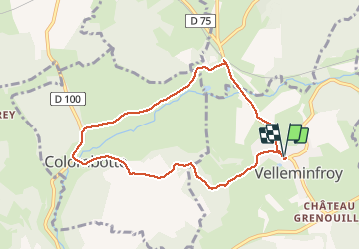

14.8 km | 19.6 km-effort

User


FREE GPS app for hiking
 SityTrail
IGN / Geographical institutes
SityTrail World
The world is yours!
Trail Other activity of 7.9 km to be discovered at Bourgogne-Franche-Comté, Haute-Saône, Velleminfroy. This trail is proposed by nicolasdresse.
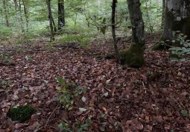
Petite promenade entre pré et forêts. Quelques portions de route mais rien de bien passant.


Walking
Walking
Other activity
Other activity
Walking

Mountain bike
Walking

Walking
Walking