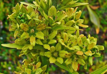
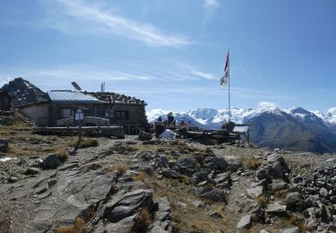
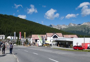
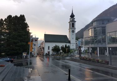
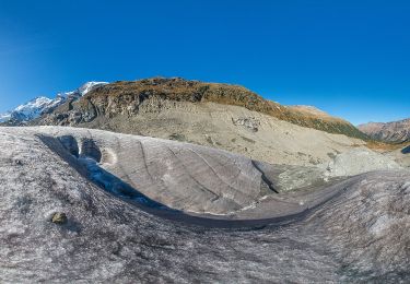
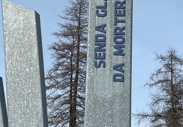
Trail Walking Pontresina - YHH096 Schruns à Tirano (6e jour) - Photo

YHH096 Schruns à Tirano (6e jour)

© OpenStreetMap contributors
Length
Length
20 km
Max alt
Max alt
2275 m
Uphill gradient
Uphill gradient
659 m
Km-Effort
Km-Effort  
28 km
Min alt
Min alt
1793 m
Downhill gradient
Downhill gradient
309 m
Boucle
Boucle
No
Creation date :
2015-09-03 00:00:00.0
Updated on :
2015-09-03 00:00:00.0

(0 Reviews)

Walking
Walking
6h12
Difficulty : Very difficult

Scan this QR Code to open this trail in the SityTrail application

FREE GPS app for hiking

Logo SityTrail SityTrail

IGN / Geographical institutes

Download SityTrail from the App Store Download SityTrail from Google Play

Logo SityTrail SityTrail World

The world is yours!

Download SityTrail from the App Store Download SityTrail from Google Play Download SityTrail on Huawei AppGallery

About

Trail Walking of 20 km to be discovered at Grisons, Maloja, Pontresina. This trail is proposed by yveshumbert.

Description

Randonnée de 8 jours au départ de Schruns (Autriche) et arrivée à Tirano (Italie). Etape # 6 Pontresina à Alp Grüm.
La première partie de la rando suit la rivière jusqu a Morteratsch.
Le chemin continue par la Diavolezza, puis au col de la Bernina. On longe ensuite le lac. Finalement on redescend sur Alp Grun.
A Alp Grum on peut dormir et se restaurer a l hôtel Belvedere.

Elevation profile

Points of interest

Point of interest Pontresina - Morteratsch - Photo
yveshumbert
PONTRESINA 
Point of interest Pontresina - Alp da Buond Sur - Photo
yveshumbert
PONTRESINA 
Point of interest Poschiavo - Poz dal Dragu - Photo
yveshumbert
POSCHIAVO 
Point of interest Poschiavo - Alp Grum - Photo
yveshumbert
POSCHIAVO 
Point of interest Pontresina - Bernina Diavolezza - Photo
yveshumbert
PONTRESINA 
Point of interest Pontresina - Pontresina - Photo
yveshumbert
PONTRESINA 

Positioning

Country:
Switzerland
Region :
Grisons
Department/Province :
Maloja
Municipality :
Pontresina
Location:
Unknown
Start:(UTM)
569174 ; 5148916 (32T) N.

Trails nearby

Trail On foot Sankt Moritz - SEERUNDGANG - Photo
On foot
GUIDE+

On foot

Easy
Sankt Moritz, Grisons, Maloja, Switzerland
4.3 km | 5.1 km-effort
1h 10min
Yes
Trail On foot Pontresina - Muottas Muragl - Unterer Schafberg - Photo
On foot
GUIDE+

On foot

Easy
Pontresina, Grisons, Maloja, Switzerland
4.5 km | 7.3 km-effort
1h 39min
No
Trail On foot Samedan - Muottas Muragl - Chna. Segantini - Photo
On foot
GUIDE+

On foot

Easy
Samedan, Grisons, Maloja, Switzerland
3.4 km | 5.8 km-effort
1h 18min
No
Trail On foot Pontresina - Puntraschigna - Roseg - Photo
On foot
GUIDE+

On foot

Easy
Pontresina, Grisons, Maloja, Switzerland
6.7 km | 9.2 km-effort
2h 5min
No
Trail On foot Pontresina - Morteratsch-Pontresina - Photo
On foot
GUIDE+

On foot

Easy
Pontresina, Grisons, Maloja, Switzerland
5.1 km | 6.1 km-effort
1h 23min
No
Trail On foot Pontresina - Morteratsch-chamanna da Boval - Photo
On foot
GUIDE+

On foot

Easy
Pontresina, Grisons, Maloja, Switzerland
4.8 km | 10.8 km-effort
2h 26min
No
Trail sport Pontresina - 2024 02 21 - Photo
sport
jpborto

sport

Very easy
Pontresina, Grisons, Maloja, Switzerland
6.4 km | 9.1 km-effort
Unknown
Yes
Trail Other activity Pontresina - y10_muottas_muragl - Photo
Other activity
GUIDE+

Other activity

Very easy
Pontresina, Grisons, Maloja, Switzerland
11.7 km | 22 km-effort
5h 1min
No
Trail Walking Sankt Moritz - mtb04 - Photo
Walking
GUIDE+

Walking

Very easy
Sankt Moritz, Grisons, Maloja, Switzerland
25 km | 39 km-effort
Unknown
Yes


Close
My subscriptions