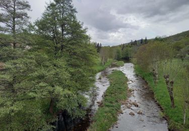
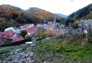
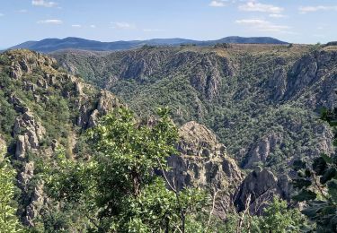
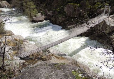
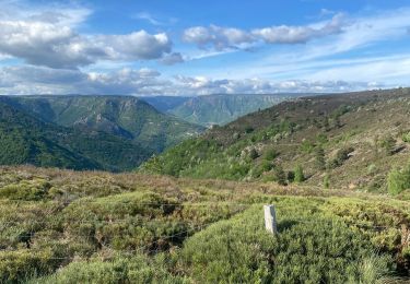
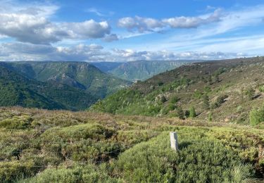
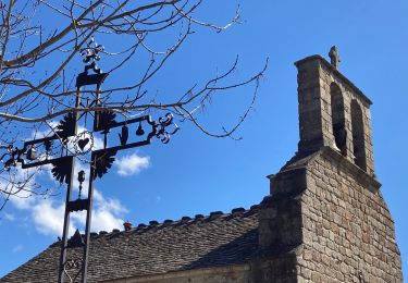
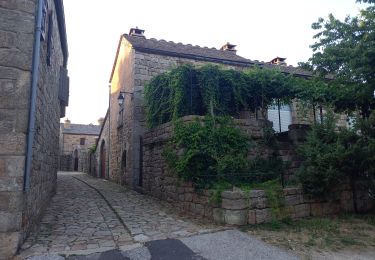
Trail Walking Villefort - Tour du lac de villefort - Photo

Tour du lac de villefort

 dussaux
dussaux

User

© OpenStreetMap contributors
Length
Length
7.5 km
Max alt
Max alt
651 m
Uphill gradient
Uphill gradient
178 m
Km-Effort
Km-Effort  
9.9 km
Min alt
Min alt
576 m
Downhill gradient
Downhill gradient
177 m
Boucle
Boucle
Yes
Creation date :
2015-08-31 00:00:00.0
Updated on :
2015-08-31 00:00:00.0

(3 Reviews)

Walking
Walking
1h52
Difficulty : Very easy

Scan this QR Code to open this trail in the SityTrail application

FREE GPS app for hiking

Logo SityTrail SityTrail

IGN / Geographical institutes

Download SityTrail from the App Store Download SityTrail from Google Play

Logo SityTrail SityTrail World

The world is yours!

Download SityTrail from the App Store Download SityTrail from Google Play Download SityTrail on Huawei AppGallery

About

Trail Walking of 7.5 km to be discovered at Occitania, Lozère, Villefort. This trail is proposed by dussaux.

Elevation profile

Positioning

Country:
France
Region :
Occitania
Department/Province :
Lozère
Municipality :
Villefort
Location:
Unknown
Start:(UTM)
573866 ; 4923191 (31T) N.

Comments

Please log in to post a review or rate the element


très bel endroit, ombragé , avec vues sur le lac aux supers couleurs. quelques passages un peu difficile, mais globalement très facile.


Une application indispensable pour le randonneur que je suis et aussi pour l'automobiliste. Je ne cesse de recommander SityTrail autour de moi. Un bémol cependant : la mise en veille très (trop ) tôt de l'application quand on est un peu perdu au cours d une randonnée et le GPS qui se désactive. Enfin comment obliger l'affichage de la carte à demeurer orienté dans le sens du déplacement. Encore bravo et merci.


Trails nearby

Trail Walking Pied-de-Borne - GRP Tour du Chassezac en 2 jours - Photo
Walking
GUIDE
nadinebondoux

Walking

Difficult
Pied-de-Borne, Occitania, Lozère, France
25 km | 36 km-effort
6h 50min
No
Trail On foot Malons-et-Elze - GR 44 - Photo
On foot
GUIDE+

On foot

Easy
Malons-et-Elze, Occitania, Gard, France
4.8 km | 6.4 km-effort
1h 26min
No
Trail Walking Pourcharesses - au coeur des gorges du chassezac au départ de Villefort  - Photo
Walking
GUIDE
nadinebondoux

Walking

Difficult
Pourcharesses, Occitania, Lozère, France
17.6 km | 28 km-effort
7h 12min
Yes
Trail Walking Prévenchères -  Gorges de Chassezac - Photo
Walking
cousam

Walking

Difficult
Prévenchères, Occitania, Lozère, France
19 km | 30 km-effort
7h 33min
Yes
Trail Walking Pied-de-Borne - Le tour du Chassezac  - Photo
Walking
GUIDE
Roger Philippe Wallez

Walking

Very difficult
Pied-de-Borne, Occitania, Lozère, France
49 km | 72 km-effort
37h 28min
Yes
Trail Walking Pied-de-Borne - Le tour du chassezac - Photo
Walking
GUIDE
Roger Philippe Wallez

Walking

Very difficult
Pied-de-Borne, Occitania, Lozère, France
49 km | 72 km-effort
16h 34min
Yes
Trail Walking Prévenchères - La garde guerin  - Photo
Walking
GUIDE
antignacs

Walking

Very easy
Prévenchères, Occitania, Lozère, France
6.1 km | 7.4 km-effort
1h 39min
Yes
Trail Walking Prévenchères - Gorges du Chassezac au départ de la Garde guérin  - Photo
Walking
GUIDE
nadinebondoux

Walking

Difficult
Prévenchères, Occitania, Lozère, France
10 km | 17.2 km-effort
4h 3min
Yes
Trail Walking Prévenchères - La Garde Guerin - Photo
Walking
sylvain.cano

Walking

Very difficult
Prévenchères, Occitania, Lozère, France
12.4 km | 21 km-effort
5h 5min
Yes


Close
My subscriptions