9.3 km | 12.4 km-effort
Boucle château longas 14km
amelie14
User
Length
14 km
Max alt
219 m
Uphill gradient
270 m
Km-Effort
17.6 km
Min alt
126 m
Downhill gradient
271 m
Boucle
Yes
Creation date :
2018-07-09 20:22:23.656
Updated on :
2018-07-09 20:22:23.656
2h50
Difficulty : Easy
FREE GPS app for hiking
About
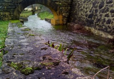
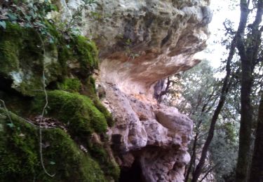
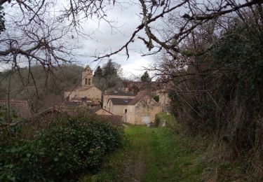
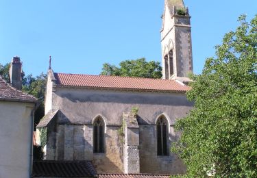
Trail Walking of 14 km to be discovered at New Aquitaine, Dordogne, Sainte-Foy-de-Longas. This trail is proposed by amelie14.
Positioning
Country:
France
Region :
New Aquitaine
Department/Province :
Dordogne
Municipality :
Sainte-Foy-de-Longas
Location:
Unknown
Start:(Dec)
Start:(UTM)
322533 ; 4977162 (31T) N.
Comments
Trails nearby
21,5 km
Walking
Difficult
Pressignac-Vicq,
New Aquitaine,
Dordogne,
France
22 km | 29 km-effort
4h 7min
Yes
Grotte
Walking
Very difficult
Trémolat,
New Aquitaine,
Dordogne,
France
4 km | 5.9 km-effort
1h 28min
Yes
boucle boissiere
Walking
Easy
Val de Louyre et Caudeau,
New Aquitaine,
Dordogne,
France
13.1 km | 16.5 km-effort
2h 38min
Yes
St Félix de V. 17km
Walking
Medium
Saint-Marcel-du-Périgord,
New Aquitaine,
Dordogne,
France
16.9 km | 21 km-effort
3h 14min
Yes
boucle des truffiers
Walking
Easy
Val de Louyre et Caudeau,
New Aquitaine,
Dordogne,
France
10.9 km | 14.2 km-effort
2h 12min
No
Boucle de Grand Castang - Pezuls
Walking
Medium
Mauzac-et-Grand-Castang,
New Aquitaine,
Dordogne,
France
21 km | 28 km-effort
4h 1min
Yes
Boucle de Saint Marcel - Sainte Foy de Longas via Vicq
Walking
Medium
Saint-Marcel-du-Périgord,
New Aquitaine,
Dordogne,
France
19.8 km | 25 km-effort
3h 47min
Yes
Boucle de Saint Laurent des Bâtons
Walking
Medium
Val de Louyre et Caudeau,
New Aquitaine,
Dordogne,
France
18.6 km | 24 km-effort
3h 27min
Yes