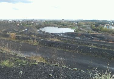
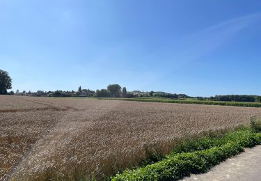
34 km | 36 km-effort
test le 30 septembre 2010
fabbaby
User
Length
7.9 km
Max alt
37 m
Uphill gradient
36 m
Km-Effort
8.4 km
Min alt
18 m
Downhill gradient
45 m
Boucle
No
Creation date :
2014-12-10 00:00:00.0
Updated on :
2014-12-10 00:00:00.0
--
Difficulty : Unknown
FREE GPS app for hiking
About
Trail Other activity of 7.9 km to be discovered at Hauts-de-France, Pas-de-Calais, Annay. This trail is proposed by fabbaby.
Positioning
Country:
France
Region :
Hauts-de-France
Department/Province :
Pas-de-Calais
Municipality :
Annay
Location:
Unknown
Start:(Dec)
Start:(UTM)
491384 ; 5590167 (31U) N.
Comments
Trails nearby
Wingles parc de la souchez
Hybrid bike
(1)
Wingles,
Hauts-de-France,
Pas-de-Calais,
France
1h 53min
Yes
randonnée
Walking
Difficult
Lens,
Hauts-de-France,
Pas-de-Calais,
France
10.5 km | 13.4 km-effort
3h 41min
Yes
Wingles BÈthune vimy
Electric bike
Medium
Wingles,
Hauts-de-France,
Pas-de-Calais,
France
82 km | 92 km-effort
5h 32min
Yes
Les parcs - Wingles
Cycle
Easy
(1)
Wingles,
Hauts-de-France,
Pas-de-Calais,
France
29 km | 31 km-effort
2h 0min
Yes
terrils - fouquieres les lens
Running
Easy
Courrières,
Hauts-de-France,
Pas-de-Calais,
France
15.9 km | 18.7 km-effort
2h 9min
Yes
Vers Lorette
Electric bike
Easy
Wingles,
Hauts-de-France,
Pas-de-Calais,
France
50 km | 55 km-effort
2h 49min
Yes
Rando de la St Valentin, Annay sous Lens
Mountain bike
Medium
Annay,
Hauts-de-France,
Pas-de-Calais,
France
34 km | 37 km-effort
2h 15min
Yes
Canal Courrières
Walking
Easy
Courrières,
Hauts-de-France,
Pas-de-Calais,
France
2.5 km | 2.9 km-effort
48min
Yes