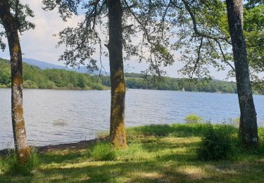
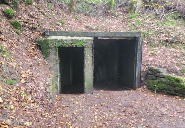
Trail Motor La Côte - etobon frahier - Photo
© OpenStreetMap contributors
Length
Length
46 km
Max alt
Max alt
497 m
Uphill gradient
Uphill gradient
875 m
Km-Effort
Km-Effort  
57 km
Min alt
Min alt
296 m
Downhill gradient
Downhill gradient
803 m
Boucle
Boucle
No
Creation date :
2015-08-29 00:00:00.0
Updated on :
2015-08-29 00:00:00.0

(0 Reviews)

Motor
Motor
1h50
Difficulty : Unknown

Scan this QR Code to open this trail in the SityTrail application

FREE GPS app for hiking

Logo SityTrail SityTrail

IGN / Geographical institutes

Download SityTrail from the App Store Download SityTrail from Google Play

Logo SityTrail SityTrail World

The world is yours!

Download SityTrail from the App Store Download SityTrail from Google Play Download SityTrail on Huawei AppGallery

About

Trail Motor of 46 km to be discovered at Bourgogne-Franche-Comté, Haute-Saône, La Côte. This trail is proposed by remihelene.

Description

rando quad

Elevation profile

Points of interest

Point of interest Frahier-et-Chatebier - sami Point 1 - Photo
remihelene
FRAHIER-ET-CHATEBIER 

Positioning

Country:
France
Region :
Bourgogne-Franche-Comté
Department/Province :
Haute-Saône
Municipality :
La Côte
Location:
Unknown
Start:(UTM)
317770 ; 5283555 (32T) N.

Trails nearby

Trail Walking Ronchamp - le tour par la chapelle Ronchamp - Photo
Walking
ebihr4

Walking

Easy
(1)
Ronchamp, Bourgogne-Franche-Comté, Haute-Saône, France
4.2 km | 5.8 km-effort
1h 16min
Yes
Trail Walking Ronchamp - Ronchamp - Chapelle ND du Haut - sentier de l'Etançon (puits de mines) - Photo
Walking
Bart2015

Walking

Difficult
Ronchamp, Bourgogne-Franche-Comté, Haute-Saône, France
10.3 km | 13.6 km-effort
3h 5min
Yes
Trail Walking Saint-Germain - les lavoirs - Photo
Walking
54charly

Walking

Easy
Saint-Germain, Bourgogne-Franche-Comté, Haute-Saône, France
9.6 km | 11.3 km-effort
1h 57min
Yes
Trail Walking Saint-Germain - les monts reveaux  - Photo
Walking
francislassauce

Walking

Easy
Saint-Germain, Bourgogne-Franche-Comté, Haute-Saône, France
10.6 km | 12.6 km-effort
3h 29min
Yes
Trail Mountain bike Ronchamp - Filature de ronchamp, bassin de champagney - Photo
Mountain bike
francislassauce

Mountain bike

Very difficult
Ronchamp, Bourgogne-Franche-Comté, Haute-Saône, France
40 km | 52 km-effort
4h 3min
Yes
Trail Walking Saint-Germain - 07-03-21 tourbière de la grande pile- etangs mont Reveaux - Photo
Walking
annefrance70

Walking

Easy
Saint-Germain, Bourgogne-Franche-Comté, Haute-Saône, France
8.2 km | 9.8 km-effort
2h 2min
Yes
Trail Nordic walking Ronchamp - ronchamp, marche populaire  - Photo
Nordic walking
francislassauce

Nordic walking

Very easy
Ronchamp, Bourgogne-Franche-Comté, Haute-Saône, France
11.5 km | 13.1 km-effort
2h 26min
Yes
Trail Walking Clairegoutte - clairegoûte bois du cherimont - Photo
Walking
Evelyne3

Walking

Medium
Clairegoutte, Bourgogne-Franche-Comté, Haute-Saône, France
7.1 km | 8.7 km-effort
2h 29min
No
Trail Nordic walking Magny-Danigon - marche nordique magny d'agnygon - Photo
Nordic walking
frfl70

Nordic walking

Very easy
Magny-Danigon, Bourgogne-Franche-Comté, Haute-Saône, France
7.7 km | 9.9 km-effort
1h 48min
Yes


Close
My subscriptions