


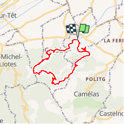


10.8 km | 16.7 km-effort


User


FREE GPS app for hiking
 SityTrail
IGN / Geographical institutes
SityTrail World
The world is yours!
Trail Walking of 15.3 km to be discovered at Occitania, Pyrénées-Orientales, Corbère-les-Cabanes. This trail is proposed by jeff66.
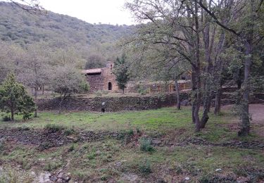
66 CORBÈRE-LES-CABANES - parking place de l'église Ste Marie Madeleine, cimetière, Montou, anc. Carrière, moto- cross - vue sur la plaine, Perpignan. La cote - au CIC somme291 m panorama a 360 degrés - pistes DFCI A72 et A71, le long du ravin de Montou - Serrat d'en Pouilh et d'en Vidal - Cana Llop - piste DFCI A70 - font de la Galillane - Roc d'en Coll - la Creu de la Beilleitte - P.e. DFCI 406, piste DFCI A67 - Fourtouli - font d'amont - Corbère de Dalt - piste DFCI A67 - vue sur le Montou, église St pierre del Bosc - château de CORBERE, font de la Canta, rue du château, Rue de la coma. Rue des écoles, mairie, église, rue de la rivière, cimetière - piste DFCI A66 - Escoute si Plou - CORBERE-les-CABANES, rue jean Pomarela, place de l'eglise


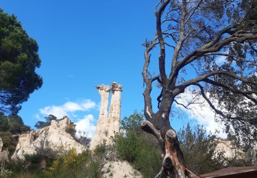
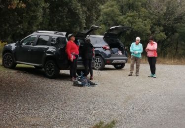
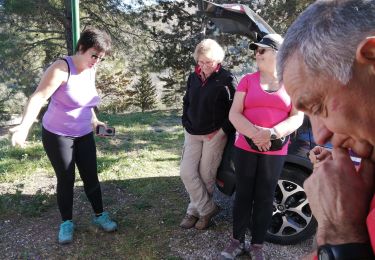
27 photos in total. Please click on a photo to see them all in the gallery.

Walking
Walking
Walking
Walking

Walking
Walking

Walking
Walking

Walking