


5.2 km | 6.4 km-effort


User


FREE GPS app for hiking
 SityTrail
IGN / Geographical institutes
SityTrail World
The world is yours!
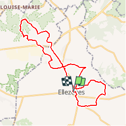
Trail Walking of 17 km to be discovered at Wallonia, Hainaut, Ellezelles. This trail is proposed by elsdewilde.
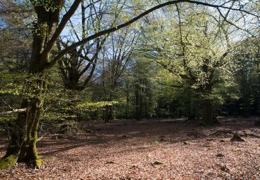
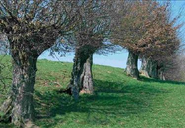
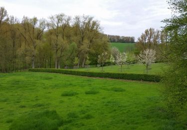
Een stevige GPS-wandeling van Walkinggirl in Ellezelles. Dit dorp ligt in het Parc naturel du Pays des Collines, net over de taalgrens, niet ver van Ronse. Voor de meeste Vlaamse wandelaars is "le Pays des Collines" een eerste kennismaking met de provincie Henegouwen. In deze heuvelachtige streek, aansluitend op de Vlaamse Ardennen, is het heerlijk vertoeven. Deze GPS-wandeling vertrekt op het marktplein van dit kleine dorp en via nauwe steegjes loop je naar de rand van het dorp. Door de velden kom je al snel aan de oude spoorwegbedding, nu een fiets- en wandelpad. Deze spoorweg was bedoeld om de mijnwerkers te vervoeren naar de streek van de Borinage. Je loopt bijna altijd in het groen en in de rust. Meermaals heb je een schitterend panoramisch uitzicht over deze glooiende streek. Via de Mont d'Ellezelles loop je naar het Muziekbos in Ronse. Er zitten een paar pittige klimmetjes in deze wandeling. De laatste 6 km van deze wandeling wordt ook wel "le Sentier de l'étrange" genoemd. Langs dit pad vind je talrijke kunstwerken van de kunstenaar Jacques Vandewattyne, die met zijn werken allerlei legendes vanuit de streek verbeeldt. Het is een bonte verzameling van heksen, duivels en weerwolven. Totale stijging: 389 meter.
Walking
Walking

Electric bike
Mountain bike
Walking
On foot

On foot
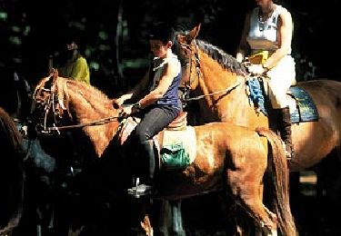
Equestrian

Equestrian