


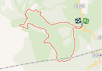


15.4 km | 26 km-effort

User


FREE GPS app for hiking
 SityTrail
IGN / Geographical institutes
SityTrail World
The world is yours!
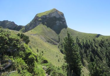
Trail Walking of 5.5 km to be discovered at Provence-Alpes-Côte d'Azur, Hautes-Alpes, Ancelle. This trail is proposed by Kilroy06.
Une très jolie boucle


Running

Walking

Walking
Walking

Walking

Walking

Walking

Walking
Walking