


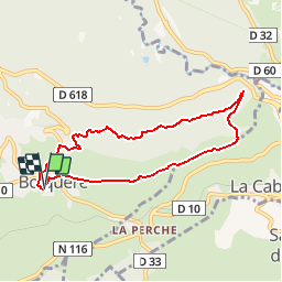

13.3 km | 19.3 km-effort

User


FREE GPS app for hiking
 SityTrail
IGN / Geographical institutes
SityTrail World
The world is yours!
Trail Walking of 7.5 km to be discovered at Occitania, Pyrénées-Orientales, Bolquère. This trail is proposed by gberger.
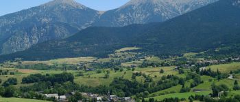
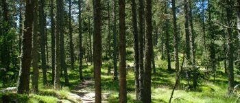
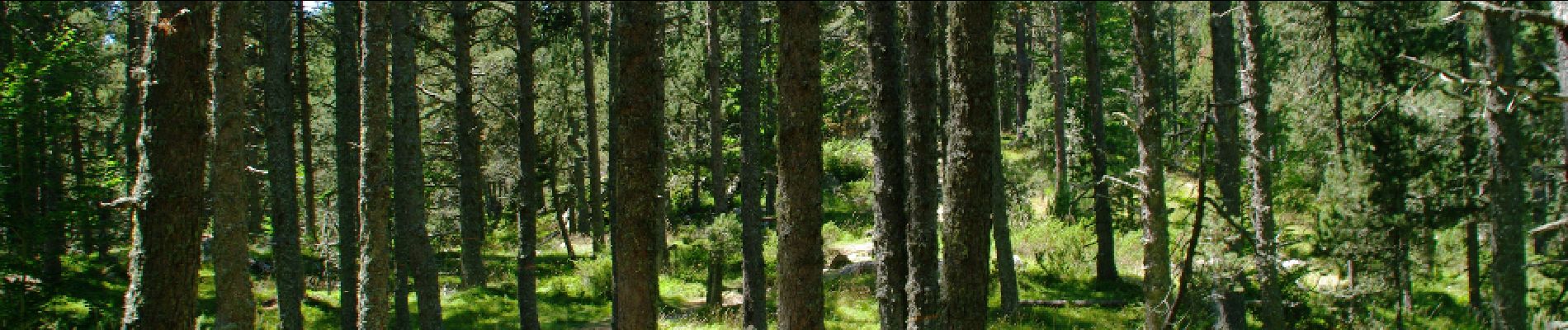
Promenade tranquille au départ du village de Bolquère. Aller par un bon chemin dans les prés en direction de MontLouis, et retour dans les bois.


Walking

Walking

Snowshoes

Walking

Snowshoes

Walking

Walking

Walking

Walking