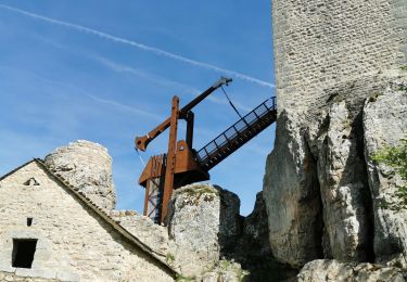
18.6 km | 24 km-effort
Apcher la Tuyère
JEANJOSY
User
Length
16.8 km
Max alt
1113 m
Uphill gradient
387 m
Km-Effort
22 km
Min alt
889 m
Downhill gradient
388 m
Boucle
Yes
Creation date :
2015-08-23 00:00:00.0
Updated on :
2015-08-23 00:00:00.0
4h43
Difficulty : Unknown
FREE GPS app for hiking
About
Trail Walking of 16.8 km to be discovered at Occitania, Lozère, Prunières. This trail is proposed by JEANJOSY.
Positioning
Country:
France
Region :
Occitania
Department/Province :
Lozère
Municipality :
Prunières
Location:
Unknown
Start:(Dec)
Start:(UTM)
525438 ; 4962615 (31T) N.
Comments
Trails nearby
De St Chely d'Apcher à Aumont Aubrac
Walking
Difficult
Saint-Chély-d'Apcher,
Occitania,
Lozère,
France
4h 15min
No
Malzieu/Apcher
Walking
Easy
(1)
Le Malzieu-Ville,
Occitania,
Lozère,
France
13.6 km | 17.7 km-effort
4h 4min
Yes
LE MALZIEU - APCHER
Walking
Medium
(1)
Le Malzieu-Ville,
Occitania,
Lozère,
France
17 km | 23 km-effort
4h 21min
Yes
DEPUIS LE CAMPING DU GALIER
Walking
Medium
Fontans,
Occitania,
Lozère,
France
13.1 km | 17.2 km-effort
2h 55min
Yes
tour du lac de la graviére de la Chazette
Walking
Easy
Le Malzieu-Ville,
Occitania,
Lozère,
France
4.9 km | 5.2 km-effort
1h 9min
Yes
sur les traces de benoit 46 depuis motocross
Mountain bike
Medium
Blavignac,
Occitania,
Lozère,
France
39 km | 51 km-effort
2h 0min
No
saint-chely vimenet
Moto cross
Easy
Saint-Chély-d'Apcher,
Occitania,
Lozère,
France
109 km | 149 km-effort
Unknown
No
Aubrac - 2° jour St Chély d'Apcher - Aumont Aubrac
Walking
Medium
Saint-Chély-d'Apcher,
Occitania,
Lozère,
France
18.1 km | 24 km-effort
5h 9min
No
Saint Pierre le Vieux
Walking
Easy
Le Malzieu-Forain,
Occitania,
Lozère,
France
6.3 km | 8.4 km-effort
1h 40min
Yes