


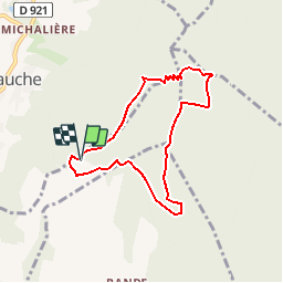

9.6 km | 17.6 km-effort


User


FREE GPS app for hiking
 SityTrail
IGN / Geographical institutes
SityTrail World
The world is yours!
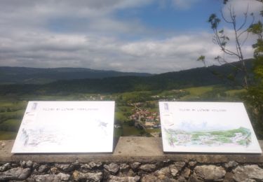
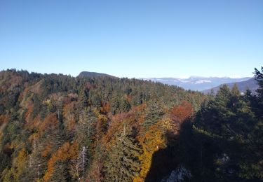
Trail Walking of 7 km to be discovered at Auvergne-Rhône-Alpes, Savoy, Saint-Pierre-de-Genebroz. This trail is proposed by bruno.saget.
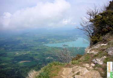
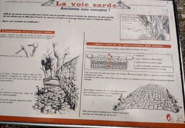
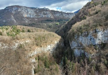
Attention descente difficile hors sentier : il faut descendre vraiment au niveau de Pré Pollet, sinon forte pente houx buis très dense. Vu un jeune chamois à la fin de la barrière rocheuse.
Walking

Road bike

Walking
Walking

sport
Trail
Trail
Walking
Walking