


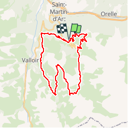

15.5 km | 29 km-effort


User


FREE GPS app for hiking
 SityTrail
IGN / Geographical institutes
SityTrail World
The world is yours!
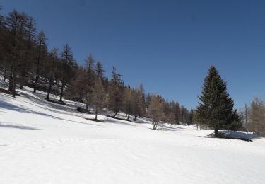
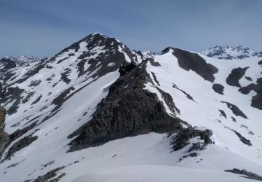
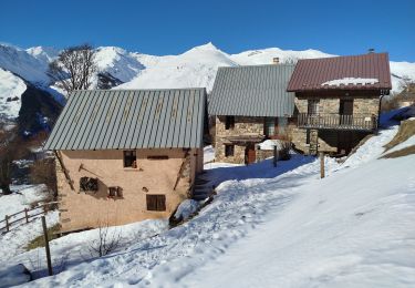
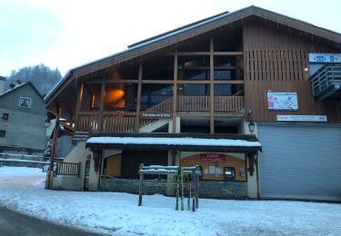
Trail Mountain bike of 36 km to be discovered at Auvergne-Rhône-Alpes, Savoy, Valmeinier. This trail is proposed by kipoura.
Trace VTT de hautes montagne au départ de Valmenier en Savoie .... http://zevtt.free.fr
Walking

Walking
Walking
Walking
Snowshoes
Touring skiing

Walking
Snowshoes
Walking