


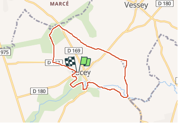

17.9 km | 21 km-effort


User


FREE GPS app for hiking
 SityTrail
IGN / Geographical institutes
SityTrail World
The world is yours!
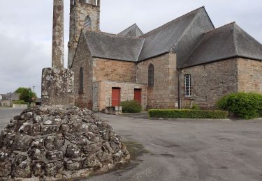
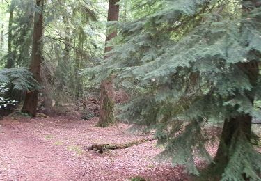
Trail Walking of 7.5 km to be discovered at Normandy, Manche, Sacey. This trail is proposed by roclem421.
Walking

Walking

Walking
Horseback riding

Cycle

Running
Mountain bike
Walking
Walking
Bonjour Attention ce circuit traverse des propriétés privées et n’est donc pas valide.