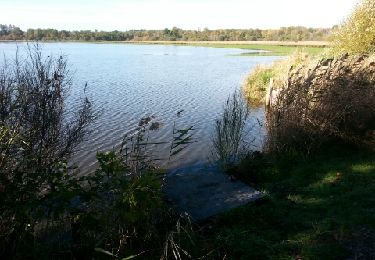
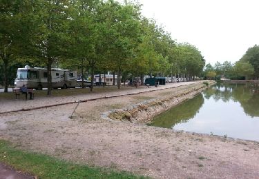
38 km | 42 km-effort
loreux guerigny
lagardienne
User
Length
130 km
Max alt
394 m
Uphill gradient
1334 m
Km-Effort
147 km
Min alt
91 m
Downhill gradient
1217 m
Boucle
No
Creation date :
2015-08-17 00:00:00.0
Updated on :
2015-08-17 00:00:00.0
8h53
Difficulty : Medium
FREE GPS app for hiking
About
Trail Mountain bike of 130 km to be discovered at Centre-Loire Valley, Loir-et-Cher, Loreux. This trail is proposed by lagardienne.
Description
fait avec un VTT de 35 kg environ.
Positioning
Country:
France
Region :
Centre-Loire Valley
Department/Province :
Loir-et-Cher
Municipality :
Loreux
Location:
Unknown
Start:(Dec)
Start:(UTM)
411836 ; 5250105 (31T) N.
Comments
Trails nearby
canal de la sauldres
Mountain bike
Medium
Loreux,
Centre-Loire Valley,
Loir-et-Cher,
France
104 km | 114 km-effort
12h 5min
No
romo marcilly romo
Road bike
Very easy
Romorantin-Lanthenay,
Centre-Loire Valley,
Loir-et-Cher,
France
40 km | 44 km-effort
1h 48min
Yes
villeherviers
Walking
Easy
Villeherviers,
Centre-Loire Valley,
Loir-et-Cher,
France
7.8 km | 8.5 km-effort
1h 51min
Yes
villeherviers
Walking
Very easy
Villeherviers,
Centre-Loire Valley,
Loir-et-Cher,
France
7.2 km | 7.8 km-effort
1h 53min
Yes
GTA 2018 - ETAPE 1
Motorbike
Easy
Loreux,
Centre-Loire Valley,
Loir-et-Cher,
France
503 km | 586 km-effort
7h 40min
No
villehervier
Running
Very easy
Villeherviers,
Centre-Loire Valley,
Loir-et-Cher,
France
10.3 km | 11.5 km-effort
1h 21min
Yes
romo menetou romo
Cycle
Very easy
Romorantin-Lanthenay,
Centre-Loire Valley,
Loir-et-Cher,
France
36 km | 40 km-effort
2h 0min
Yes
romo loreux salbris rte teillay ferthe Imbault romo
Road bike
Very easy
Romorantin-Lanthenay,
Centre-Loire Valley,
Loir-et-Cher,
France
57 km | 63 km-effort
2h 10min
Yes