


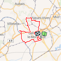


29 km | 33 km-effort


User


FREE GPS app for hiking
 SityTrail
IGN / Geographical institutes
SityTrail World
The world is yours!
Trail Walking of 14.6 km to be discovered at Occitania, Gard, Gallargues-le-Montueux. This trail is proposed by jeff66.
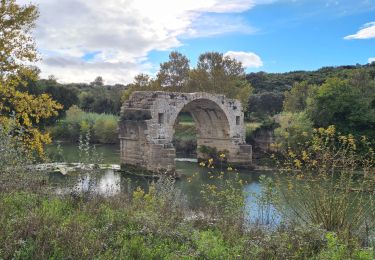
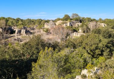
30 GALLARGUES LE M. - parking au rond point de la D378 a l'entrée du village - longer le collège - cartonnerie smurfit kappa - pont enjambant la voie ferrée -av. De la station, rue de Vergèze, hôpital St Jacques, place de la mairie, temple, tour royale , rue du mas de Broussier. Rue de la tuilerie, rue des argiliers, pont au dessus de l'A9 - clinique les Oliviers - route en surplomb de l'A9 - ch. de terre avec trace de roues de charrettes dans la roche - Cabassu - le Souvayre - Puech de Beauregard - AIGUES- VIVES, chemin de Cabane, cros de Nadal, pinède, ch. des pins et du moulin à vent, Garrigouille, ch. des carrières, imp. Des mmésanges, ch. des pins de la Motte, Font Fougassière - Rouvignargues - ch. de Sommières - mas de Jonny - Azairs - Quiquillon - le
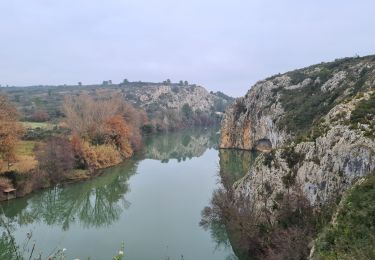
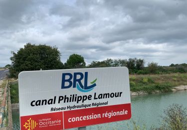
Vidourle. le moulin du Liquis, de Vendran - digues et berges du Vidourle - le moulin de Vendran - GALLARGUES, Eqcourjades, les amandiers, rue des amandiers, rue Folco de Baroncelli, cave Coop, canal BRL, Rond point D378


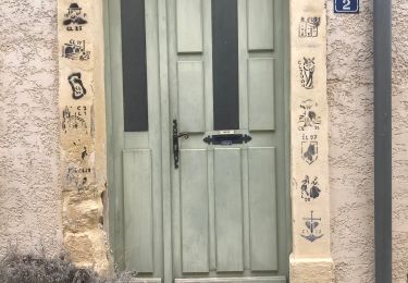
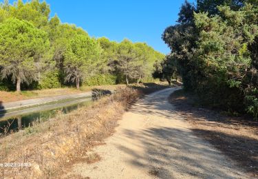
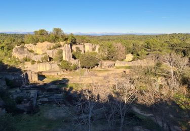
21 photos in total. Please click on a photo to see them all in the gallery.

Mountain bike

Equestrian
Walking
Walking
Walking
Walking
Walking