


12 km | 29 km-effort


User


FREE GPS app for hiking
 SityTrail
IGN / Geographical institutes
SityTrail World
The world is yours!
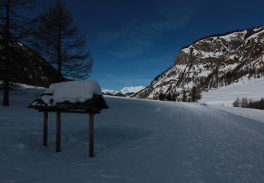
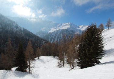
Trail Walking of 12.6 km to be discovered at Auvergne-Rhône-Alpes, Savoy, Bourg-Saint-Maurice. This trail is proposed by gilsep.
Départ par le Cabriolet (gatuit)- Prendre Arcabulle (payant) ou passer dessous - Un petit tour par le sentier de découverte - pause au lac des moutons - Retour par la crête des Tuffes - Pause au lac de la Montée - Retour à Arc 1950.
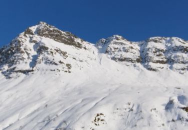
Touring skiing
Touring skiing

Walking
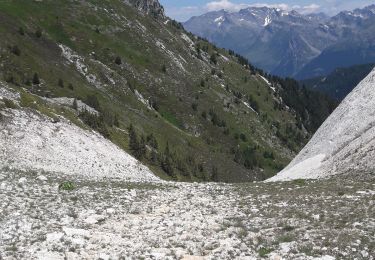
Walking
Walking
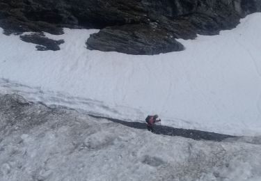
Snowshoes
Snowshoes
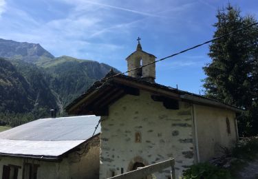
Walking

Walking