


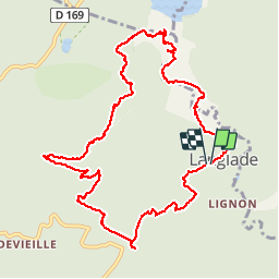

6.1 km | 7.6 km-effort


User


FREE GPS app for hiking
 SityTrail
IGN / Geographical institutes
SityTrail World
The world is yours!
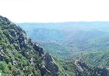
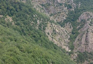
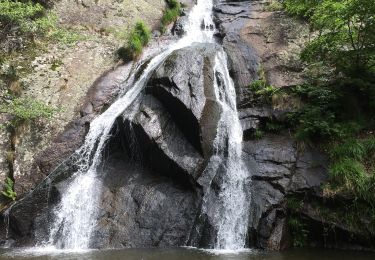
Trail Walking of 12.4 km to be discovered at Occitania, Hérault, Riols. This trail is proposed by PVERTICAL.
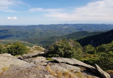
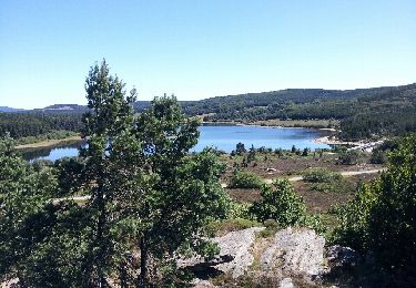
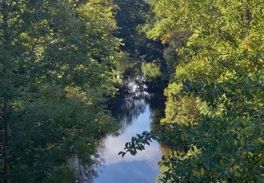
très jolie boucle, surtout la 1ère partie jusqu'au lac. (attention dans cette partie aux pierres qui peuvent être glissantes, privilégier la montée à la descente de cette partie)


Walking
Walking
Walking
Walking
Walking
Walking

Nordic walking
Walking