


19.3 km | 26 km-effort

User


FREE GPS app for hiking
 SityTrail
IGN / Geographical institutes
SityTrail World
The world is yours!
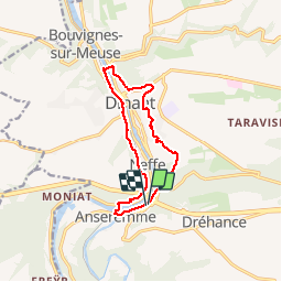
Trail Walking of 10.8 km to be discovered at Wallonia, Namur, Dinant. This trail is proposed by GerardBouche.
P des kayaks"Libert" par l'écluse de Noyon-Pré -> Leffe -> Bethléem-> passage en rive droite par l'écluse de Leffe->La tour de Mont-Fort, la réserve naturelle et descente par Froidvau et Rocher Bayard.
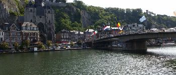
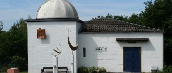
. - Photo 1")
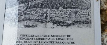
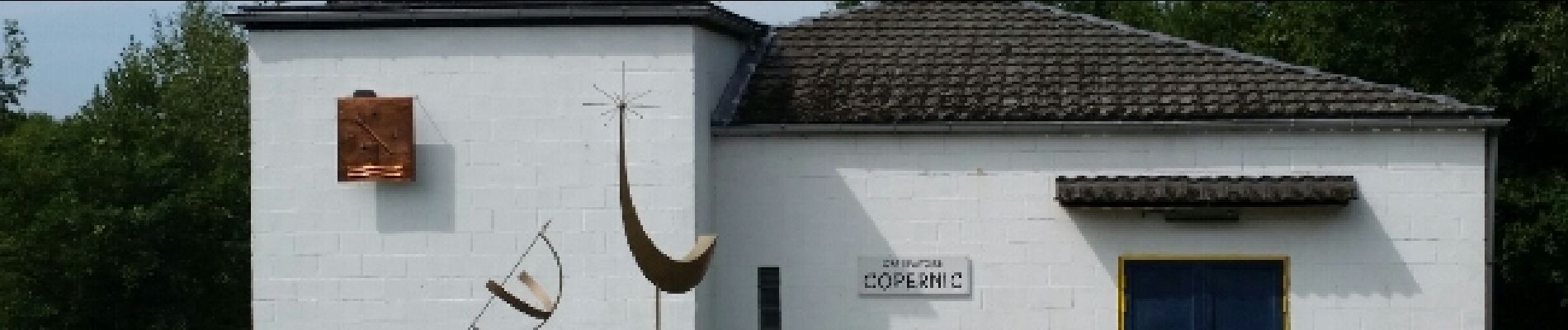
. - Photo 2")
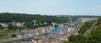
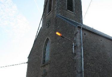
. - Photo 3")
. - Photo 4")

Walking

Walking

Walking

Walking

Walking

Walking
Walking

Walking

Walking