


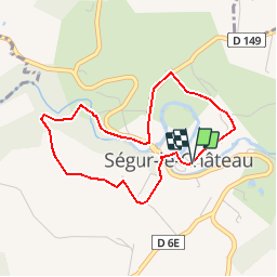


9.1 km | 11.4 km-effort

User


FREE GPS app for hiking
 SityTrail
IGN / Geographical institutes
SityTrail World
The world is yours!
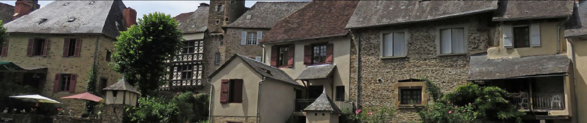
Trail Walking of 3.8 km to be discovered at New Aquitaine, Corrèze, Ségur-le-Château. This trail is proposed by houbart.
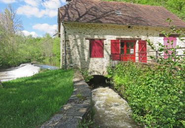
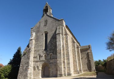
Départ du village, un des "plus beaux villages de France". Le sentier botanique a beaucoup souffert et ne présente pas grand intérêt. La balade est agréable, à l'ombre des sous-bois.

Walking
Walking

Walking
Walking
Walking
Walking


sport
Walking
Walking