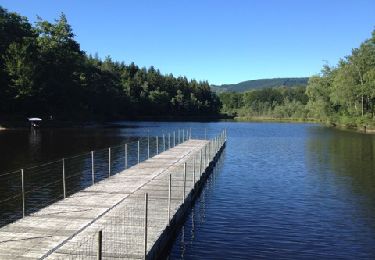
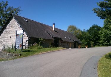
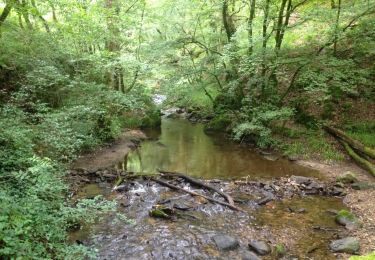
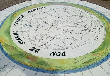
Trail Walking Chaumeil - chaumeil cirque de Freyssignes - Photo

chaumeil cirque de Freyssignes

 grageot
grageot

User

© OpenStreetMap contributors
Length
Length
19.6 km
Max alt
Max alt
904 m
Uphill gradient
Uphill gradient
661 m
Km-Effort
Km-Effort  
28 km
Min alt
Min alt
571 m
Downhill gradient
Downhill gradient
658 m
Boucle
Boucle
Yes
Creation date :
2015-07-23 00:00:00.0
Updated on :
2015-07-23 00:00:00.0

(1 Reviews)

Walking
Walking
6h10
Difficulty : Medium

Scan this QR Code to open this trail in the SityTrail application

FREE GPS app for hiking

Logo SityTrail SityTrail

IGN / Geographical institutes

Download SityTrail from the App Store Download SityTrail from Google Play

Logo SityTrail SityTrail World

The world is yours!

Download SityTrail from the App Store Download SityTrail from Google Play Download SityTrail on Huawei AppGallery

About

Trail Walking of 19.6 km to be discovered at New Aquitaine, Corrèze, Chaumeil. This trail is proposed by grageot.

Description

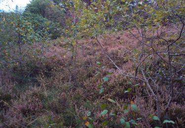
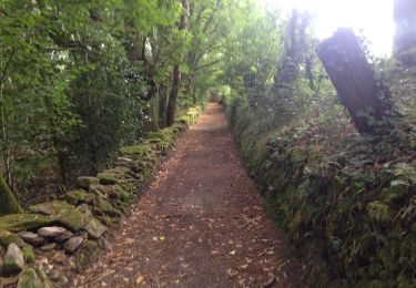
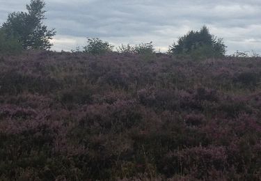
Quelques chemins tracés sur la carte ont disparu.La montée à partir du ruisseau du Goural se fait à travers bois en direct sans difficulté jusqu'à la piste du pylone. Pas de problème jusqu'à la descente finale vers Chaumeil. Descendre dans la forêt dans l'Arial du Bois jusqu'au hameau de Malfont. attention ne pas se laisser embarquer dans la sapinède  SE on se retrouve dans un grand roncier infranchissable

Elevation profile

Positioning

Country:
France
Region :
New Aquitaine
Department/Province :
Corrèze
Municipality :
Chaumeil
Location:
Unknown
Start:(UTM)
412475 ; 5034266 (31T) N.

Comments

Please log in to post a review or rate the element


Très agréable rando, toutefois les 2 parties hors sentiers demandent des aptitudes physiques et d'orientation. Merci.


Trails nearby

Trail Mountain bike Saint-Augustin - Corrèze Monedieres  - Photo
Mountain bike
maginot

Mountain bike

Difficult
(1)
Saint-Augustin, New Aquitaine, Corrèze, France
17.8 km | 24 km-effort
1h 39min
Yes
Trail Walking Saint-Augustin - Bruno 100815 Corrèze - Photo
Walking
maginot

Walking

Medium
(1)
Saint-Augustin, New Aquitaine, Corrèze, France
28 km | 36 km-effort
2h 21min
Yes
Trail Walking Chaumeil - petit tour du did - Photo
Walking
vimpere

Walking

Easy
Chaumeil, New Aquitaine, Corrèze, France
7.3 km | 10.6 km-effort
1h 37min
Yes
Trail Walking Saint-Augustin - landes et bruyères des monedières - Photo
Walking
611686735

Walking

Medium
(1)
Saint-Augustin, New Aquitaine, Corrèze, France
12.8 km | 18 km-effort
3h 47min
Yes
Trail Mountain bike Saint-Augustin - Bruno 05 août 2016 Correze - Photo
Mountain bike
maginot

Mountain bike

Medium
Saint-Augustin, New Aquitaine, Corrèze, France
32 km | 43 km-effort
3h 30min
Yes
Trail Mountain bike Saint-Augustin - Bruno 170815 les Monedieres - Photo
Mountain bike
maginot

Mountain bike

Medium
Saint-Augustin, New Aquitaine, Corrèze, France
27 km | 36 km-effort
2h 24min
Yes
Trail Cycle Chaumeil - Bol d'or des Monédières (19) - Photo
Cycle
claude19

Cycle

Medium
Chaumeil, New Aquitaine, Corrèze, France
21 km | 27 km-effort
59min
Yes
Trail Walking Saint-Augustin - Bruno300714 - Photo
Walking
maginot

Walking

Medium
Saint-Augustin, New Aquitaine, Corrèze, France
20 km | 25 km-effort
2h 3min
Yes
Trail Mountain bike Saint-Augustin - Bruno Corrèze 2 - Photo
Mountain bike
maginot

Mountain bike

Difficult
Saint-Augustin, New Aquitaine, Corrèze, France
22 km | 30 km-effort
2h 31min
Yes


Close
My subscriptions