


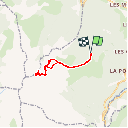

10.3 km | 24 km-effort

User


FREE GPS app for hiking
 SityTrail
IGN / Geographical institutes
SityTrail World
The world is yours!
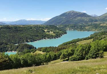
Trail Walking of 13.3 km to be discovered at Auvergne-Rhône-Alpes, Isère, Pellafol. This trail is proposed by Dervalmarc.
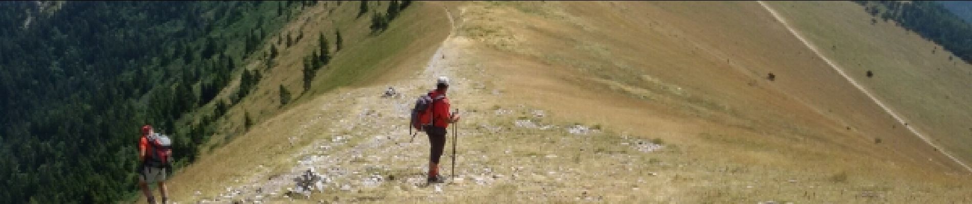
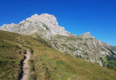
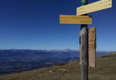
Le seigneur du Dévoluy. Randonnée réservée à ceux qui pratiquent la haute montagne et qui ne craignent pas le vide . Plusieurs passages exposés. Sous le col du petit Obiou (gradins).Vire de la cravate vigilance requise jusqu'au sommet.


Walking
Walking

Walking

Walking

Walking
On foot
Walking
Walking
Walking