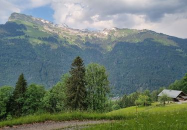
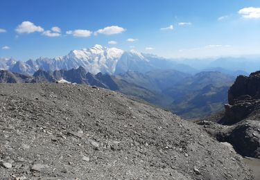
6.7 km | 11.7 km-effort
samoëns-->la clusaz 2.7.15
philippe2434
User
Length
109 km
Max alt
1299 m
Uphill gradient
2457 m
Km-Effort
141 km
Min alt
445 m
Downhill gradient
2114 m
Boucle
No
Creation date :
2015-07-19 00:00:00.0
Updated on :
2015-07-19 00:00:00.0
30h05
Difficulty : Very difficult
FREE GPS app for hiking
About
Trail Walking of 109 km to be discovered at Auvergne-Rhône-Alpes, Upper Savoy, Samoëns. This trail is proposed by philippe2434.
Points of interest
Positioning
Country:
France
Region :
Auvergne-Rhône-Alpes
Department/Province :
Upper Savoy
Municipality :
Samoëns
Location:
Unknown
Start:(Dec)
Start:(UTM)
323788 ; 5105983 (32T) N.
Comments
Trails nearby
Samoens . gorges des tines - retour
Walking
Very easy
Samoëns,
Auvergne-Rhône-Alpes,
Upper Savoy,
France
9.6 km | 12.9 km-effort
4h 1min
Yes
Gorges des Tines - Gers - Samoens
Walking
Difficult
(1)
Sixt-Fer-à-Cheval,
Auvergne-Rhône-Alpes,
Upper Savoy,
France
18.6 km | 33 km-effort
5h 52min
Yes
La Tête de Bostan
Walking
Medium
(2)
Samoëns,
Auvergne-Rhône-Alpes,
Upper Savoy,
France
14.9 km | 32 km-effort
6h 32min
Yes
J9GR5Nord
Walking
Very difficult
Sixt-Fer-à-Cheval,
Auvergne-Rhône-Alpes,
Upper Savoy,
France
16.8 km | 29 km-effort
6h 36min
No
SAMOENS: LES ALLAMANDS - BOSTAN (CHALETS - REFUGE - COL - TETE) - GOLESE
Walking
Difficult
Samoëns,
Auvergne-Rhône-Alpes,
Upper Savoy,
France
17.3 km | 35 km-effort
6h 52min
Yes
les chalets du Bémont et cascade du Nant d Ant
Walking
Medium
Samoëns,
Auvergne-Rhône-Alpes,
Upper Savoy,
France
6.7 km | 10.5 km-effort
2h 10min
No
autour de Morillon 74 .
Walking
Easy
Morillon,
Auvergne-Rhône-Alpes,
Upper Savoy,
France
5.9 km | 7.9 km-effort
1h 51min
Yes
SIXT PASSY RESERVE: LE BUET MONTEE VIA GRENAIRON - RETOUR PAR LES FONDS
Walking
Very difficult
Sixt-Fer-à-Cheval,
Auvergne-Rhône-Alpes,
Upper Savoy,
France
26 km | 56 km-effort
8h 42min
Yes