


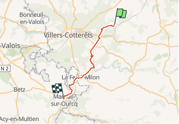


17.5 km | 21 km-effort

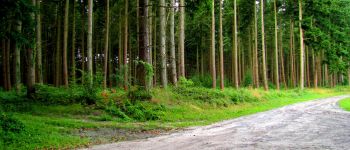
forêts de France


FREE GPS app for hiking
 SityTrail
IGN / Geographical institutes
SityTrail World
The world is yours!
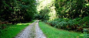
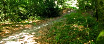
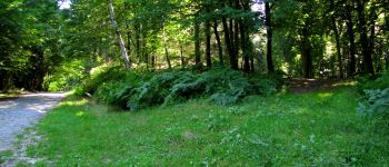
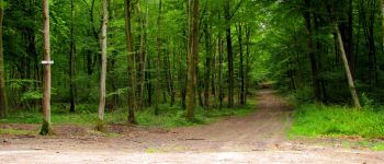
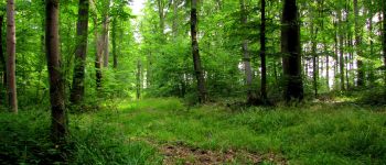
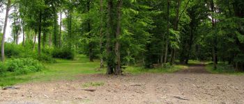
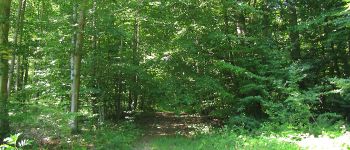
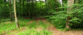
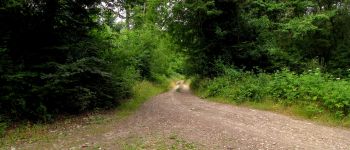
Trail Walking of 27 km to be discovered at Hauts-de-France, Aisne, Longpont. This trail is proposed by en forêt de Retz.
voir aussi:
http://foret-de-retz.over-blog.com/
07/ 2015
batterie de rechange pour iphone indispensable.
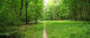
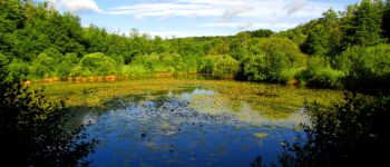
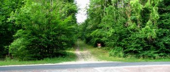
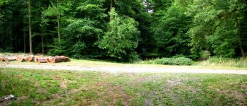
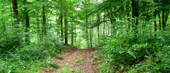
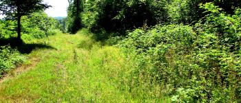
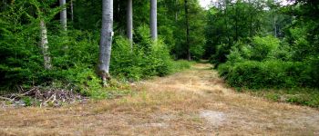
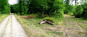
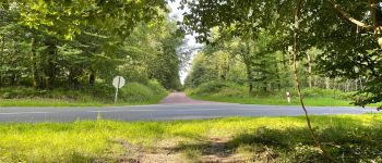
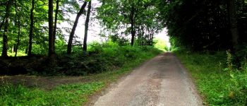
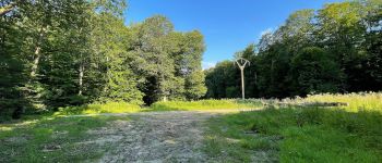
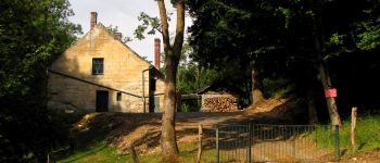
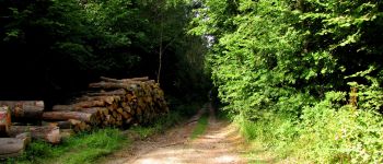
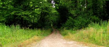
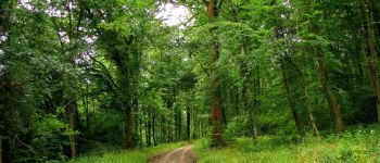
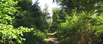
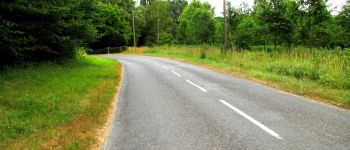
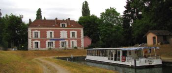
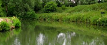
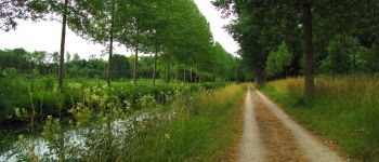
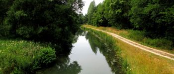
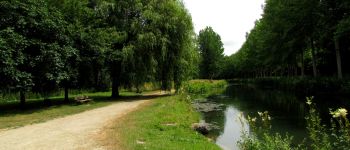
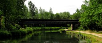
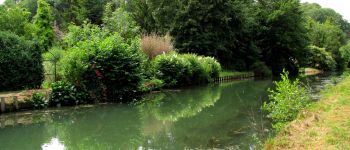
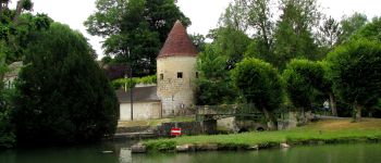
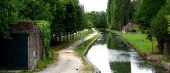
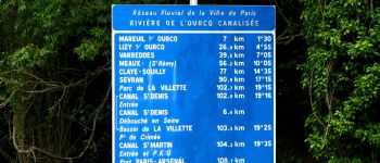
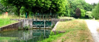
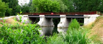
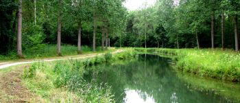
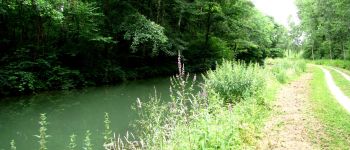
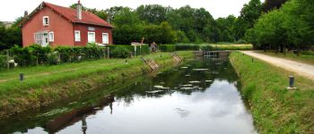
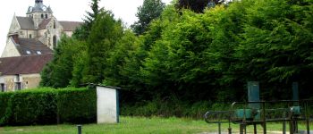
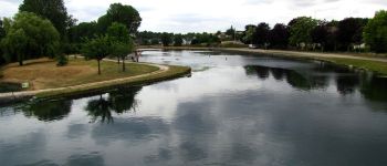
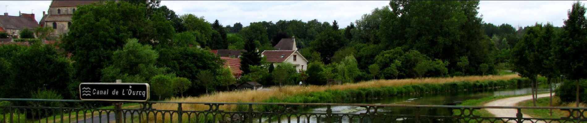
au départ de l'Abbaye de Longpont prendre le GR11A aux "trois maisons". Rejoindre le vieux chemin de Longpont et le suivre jusqu'à l'intersection avec la laie de la Grosse Pierre. Prendre à gauche jusqu'au carrefour de Château Fée. Prendre la laie de la Grosse Pierre jusqu'à l'étang de la Petite Ramée. Traverser la D80 et continuer jusqu'au carrefour des Cornillards. Prendre à gauche la laie de Hautwison jusqu'au carrefour du Trou de Terelle. Prendre à droite la laie de la Poudrerie. Continuer sur la laie de Pont Robert en passant la maison forestière du Buchet et jusqu'au carrefour du Pont Robert. Suivre le GR11 jusqu'au Port aux Perches. Prendre le canal de l'Ourcq jusqu'à Mareuil sur Ourcq.


201 photos in total. Please click on a photo to see them all in the gallery.

Walking

Walking

Walking

On foot

On foot

Walking

Walking

Walking

Walking