


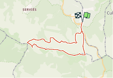

38 km | 47 km-effort


User


FREE GPS app for hiking
 SityTrail
IGN / Geographical institutes
SityTrail World
The world is yours!
Trail Walking of 16.5 km to be discovered at Occitania, Lozère, Cubières. This trail is proposed by rigol05.
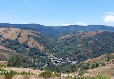
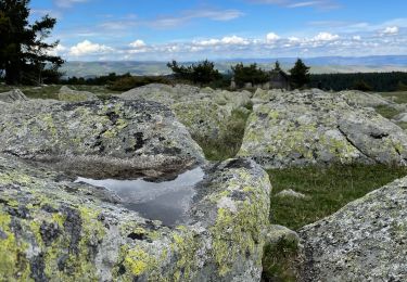
Au départ de la station du Mont Lozère, randonnée sur les crêtes.Eviter la route des chômeurs 8km,privilégier la RF des crêtes.Ne pas manquer le sentier pour accéder à la ligne de crête.

Mountain bike

Walking

Walking

Walking

Walking

Walking
Walking
Walking
Electric bike