


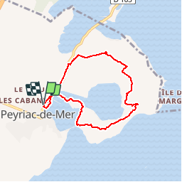

9.8 km | 12.5 km-effort


User


FREE GPS app for hiking
 SityTrail
IGN / Geographical institutes
SityTrail World
The world is yours!
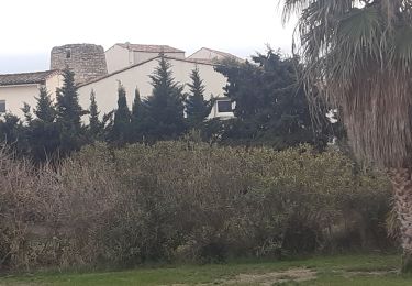
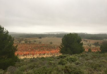
Trail Walking of 6.8 km to be discovered at Occitania, Aude, Peyriac-de-Mer. This trail is proposed by 7217Lionel.
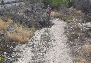
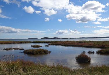
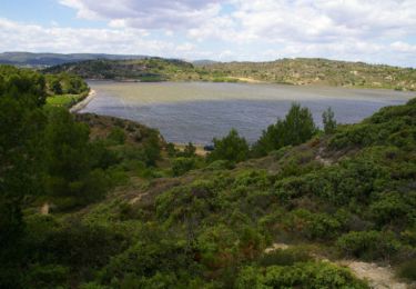
Parcourez sur des passerelles en bois l'ancienne saline de Peyriac-de-Mer, pour emprunter ensuite le sentier entre les étangs du Doul et Bages, au cœur d'une riche flore méditerranéenne.

Walking
Walking
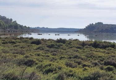
Walking
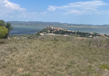
Walking

Walking
Walking
Walking
Walking