


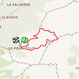


10.3 km | 16.8 km-effort

User


FREE GPS app for hiking
 SityTrail
IGN / Geographical institutes
SityTrail World
The world is yours!
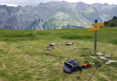
Trail Walking of 10.2 km to be discovered at Auvergne-Rhône-Alpes, Isère, Livet-et-Gavet. This trail is proposed by bob2023.
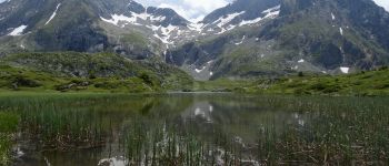
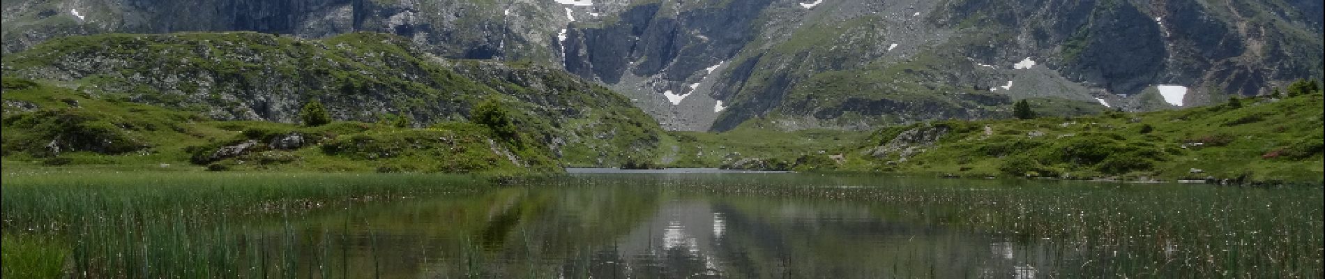
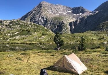
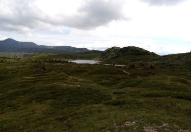
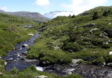
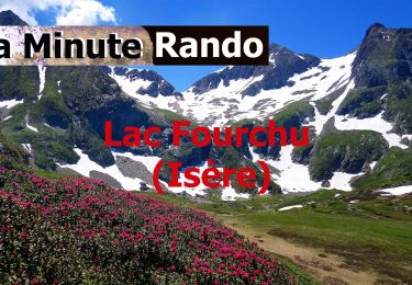
Magnifique petit lac de montagne au pied du Taillefer.
Rando à faire de préfèrence au printemps pour profiter des fleurs.Au début bonne montée mais ensuite pas de difficulté particulière, la descente est très douce.

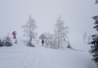
Snowshoes
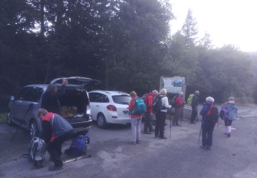
Walking

Walking
Walking
On foot
On foot
Walking
Walking

Walking
magnifique