


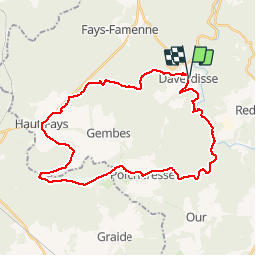


8.6 km | 11.3 km-effort
Randonnées de la Grande Forêt de Saint-Hubert GUIDE+


FREE GPS app for hiking
 SityTrail
IGN / Geographical institutes
SityTrail World
The world is yours!
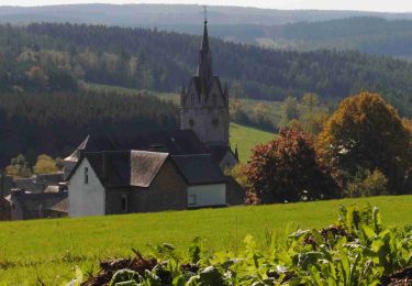
Trail Mountain bike of 32 km to be discovered at Wallonia, Luxembourg, Daverdisse. This trail is proposed by La Grande Forêt de Saint-Hubert.
Un parcours varié, destiné aux plus sportifs.
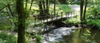
 - Photo 1")

Walking

Walking

Walking

Walking

Walking

Walking

Walking
Walking
Walking