


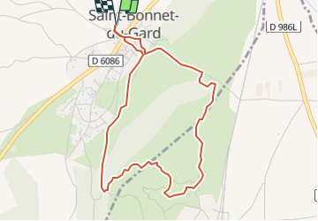

6.8 km | 8.6 km-effort


User


FREE GPS app for hiking
 SityTrail
IGN / Geographical institutes
SityTrail World
The world is yours!
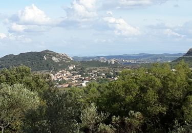
Trail Walking of 4.7 km to be discovered at Occitania, Gard, Saint-Bonnet-du-Gard. This trail is proposed by Sedille.
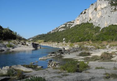
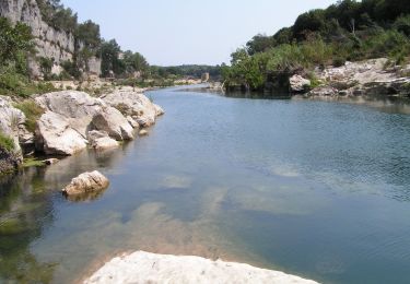
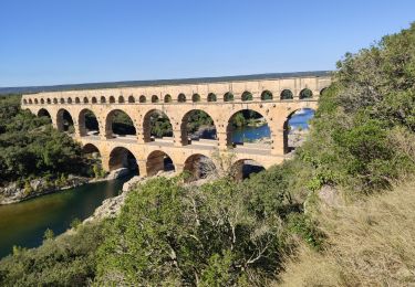
Jolie balade un peu accidentée avec belles vues, découverte du tracé de l'aqueduc du Pont du Gard par les tunnels de Sernhac et de l'église fortifiée de St Bonnet.

Walking
Walking

Walking

Walking
On foot
Walking
Walking

Walking
Walking