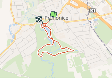

4.8 km | 5.5 km-effort

Tous les sentiers balisés d’Europe GUIDE+


FREE GPS app for hiking
 SityTrail
IGN / Geographical institutes
SityTrail World
The world is yours!
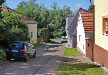
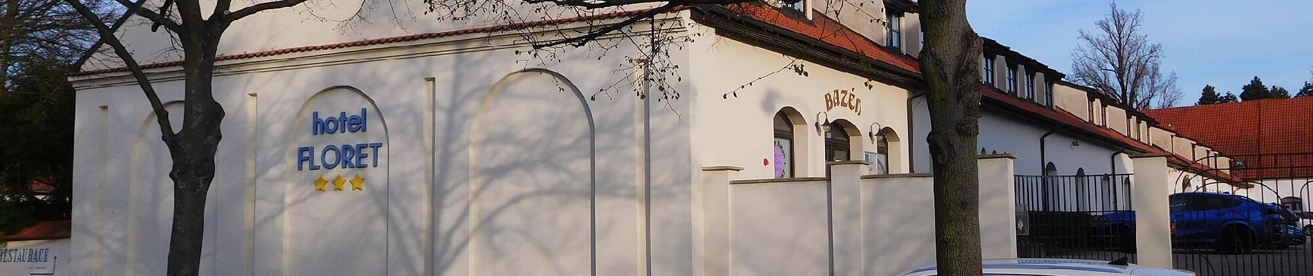
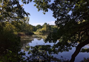
Trail On foot of 3 km to be discovered at Central Bohemia, Unknown, Průhonice. This trail is proposed by SityTrail - itinéraires balisés pédestres.
Průhonický park a zámek je Národní kulturní památkou a je zapsán na Seznamu světového dědictví UNESCO.
Website: http://www.pruhonickypark.cz/cs/park/navstevnicke-okruhy/


On foot