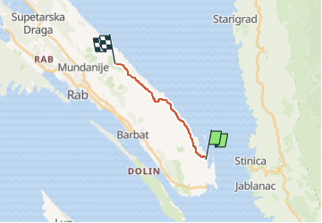

3.5 km | 5.8 km-effort

Tous les sentiers balisés d’Europe GUIDE+


FREE GPS app for hiking
 SityTrail
IGN / Geographical institutes
SityTrail World
The world is yours!
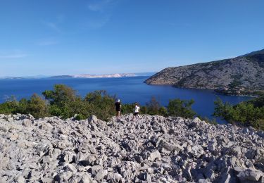
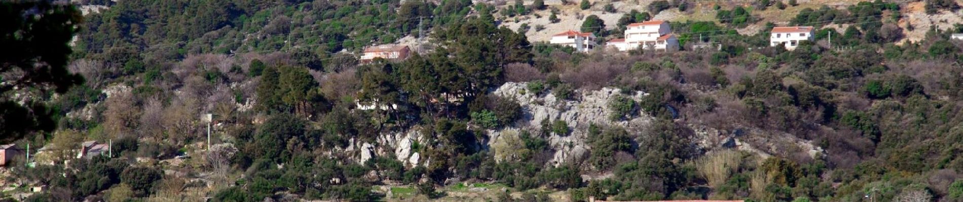
Trail On foot of 9.3 km to be discovered at Unknown, Primorje-Gorski Kotar County. This trail is proposed by SityTrail - itinéraires balisés pédestres.
Trail created by PD Kamenjak, Rab (http://www.pd-kamenjak-rab.com/).


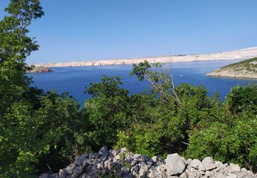
Walking