


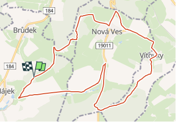

10.8 km | 16.6 km-effort


Tous les sentiers balisés d’Europe GUIDE+


FREE GPS app for hiking
 SityTrail
IGN / Geographical institutes
SityTrail World
The world is yours!
Trail On foot of 12.3 km to be discovered at Southwest, Plzeňský kraj, Všeruby. This trail is proposed by SityTrail - itinéraires balisés pédestres.


On foot
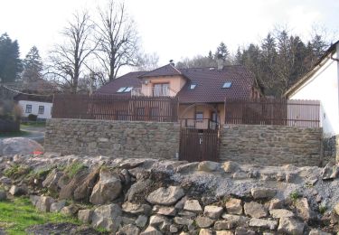
![Trail On foot Všeruby - [Ž] u bývalého Myslíva - Spálenec - Photo](https://media.geolcdn.com/t/375/260/87e14372-60f2-4a7e-92aa-f004b8352505.jpeg&format=jpg&maxdim=2)
On foot