


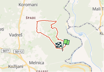

4.5 km | 10.5 km-effort

Tous les sentiers balisés d’Europe GUIDE+


FREE GPS app for hiking
 SityTrail
IGN / Geographical institutes
SityTrail World
The world is yours!
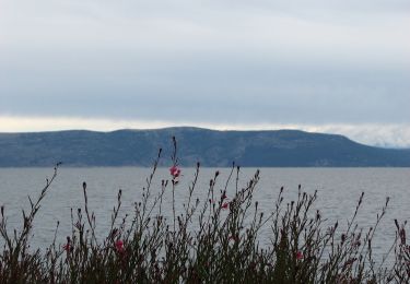
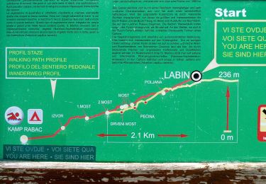
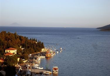
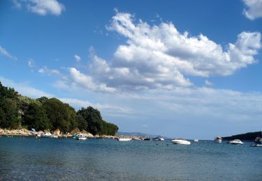
Trail On foot of 5.4 km to be discovered at Unknown, Istria County. This trail is proposed by SityTrail - itinéraires balisés pédestres.
Trail created by Istra Trails.
Symbol: green bar on yellow ground
Website: http://www.istria-trails.com/hr/staze/trail-staze/135-ch-0?&l_over=1


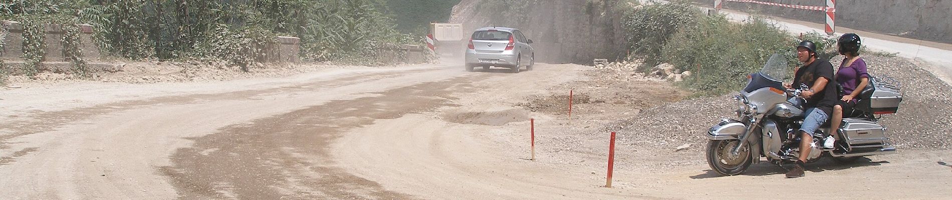
On foot
On foot
On foot
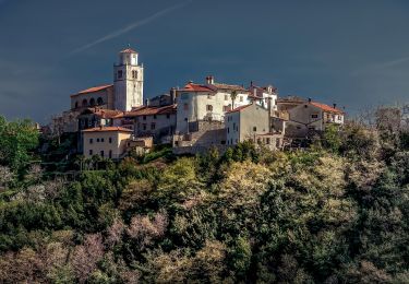
On foot

On foot
On foot
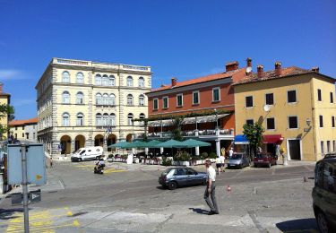
On foot
On foot
On foot