


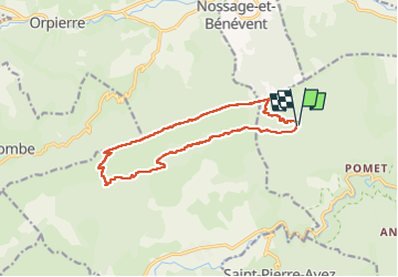

11 km | 17.2 km-effort

User


FREE GPS app for hiking
 SityTrail
IGN / Geographical institutes
SityTrail World
The world is yours!
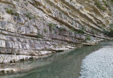
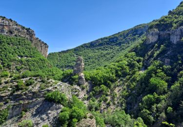
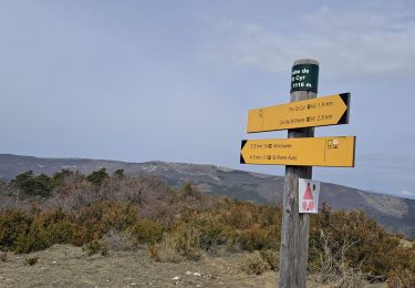
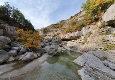
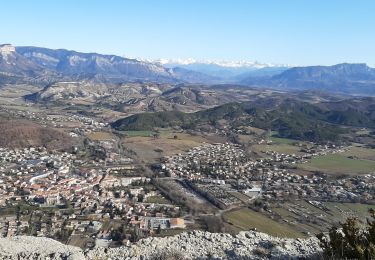
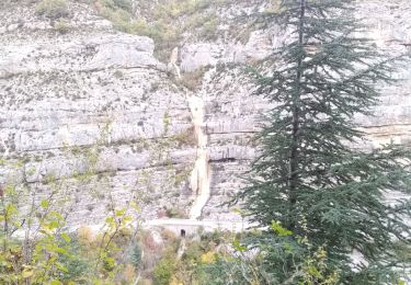
Trail Walking of 15.2 km to be discovered at Provence-Alpes-Côte d'Azur, Hautes-Alpes, Val-Buëch-Méouge. This trail is proposed by LEGUE.
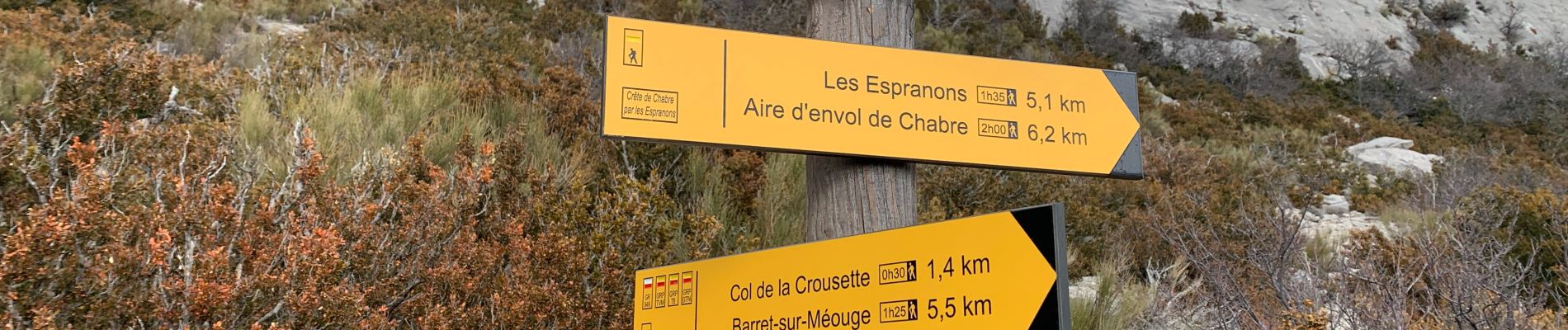
Après une montée très raide vers le point d’envol, environ 6 km le long d’une crête vertigineuse. Redescende depuis le col en enfin longue piste jusqu’au parking. Parcours exigeant
 - Photo 1")
 - Photo 2")
 - Photo 3")
 - Photo 4")
 - Photo 5")
 - Photo 6")
 - Photo 7")
Walking
Walking
Walking
Walking
Walking
Walking

Walking
Walking
Walking