


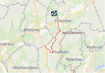

5.8 km | 7.6 km-effort
![Trail On foot Ludkovice - [Z] Lukáščena - Provodov - Photo](https://media.geolcdn.com/t/1900/400/e1671f19-b9cb-4aa1-a32b-4cbea8d7ce75.jpeg&format=pjpeg&maxdim=2)

Tous les sentiers balisés d’Europe GUIDE+


FREE GPS app for hiking
 SityTrail
IGN / Geographical institutes
SityTrail World
The world is yours!
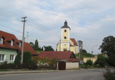
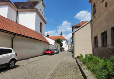
Trail On foot of 4.6 km to be discovered at Central Moravia, Zlínský kraj, Ludkovice. This trail is proposed by SityTrail - itinéraires balisés pédestres.
Trail created by cz:KČT.
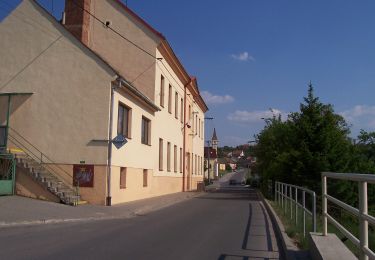
![Trail On foot Ludkovice - [Z] Lukáščena - Provodov - Photo 1](https://media.geolcdn.com/t/2048/auto/d53de050-3b51-4e43-afe6-760aaea12287.jpeg&format=jpg&maxdim=0 "Trail On foot Ludkovice - [Z] Lukáščena - Provodov - Photo 1")
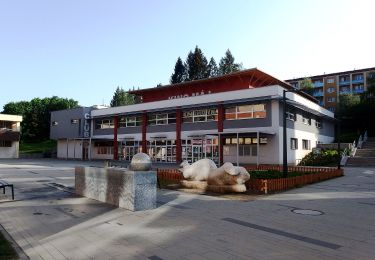
![Trail On foot Ludkovice - [Z] Lukáščena - Provodov - Photo 2](https://media.geolcdn.com/t/2048/auto/29e9ea38-60b4-4780-b6ad-11c8e9417795.jpeg&format=jpg&maxdim=0 "Trail On foot Ludkovice - [Z] Lukáščena - Provodov - Photo 2")
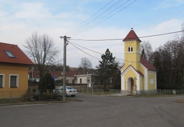
![Trail On foot Ludkovice - [Z] Lukáščena - Provodov - Photo 3](https://media.geolcdn.com/t/2048/auto/71f3efb1-7605-4626-9766-3dd6c584c5e9.jpeg&format=jpg&maxdim=0 "Trail On foot Ludkovice - [Z] Lukáščena - Provodov - Photo 3")
![Trail On foot Ludkovice - [Z] Lukáščena - Provodov - Photo 4](https://media.geolcdn.com/t/2048/auto/64f30b04-5009-4f3c-b021-a2ae54ab1638.jpeg&format=jpg&maxdim=0 "Trail On foot Ludkovice - [Z] Lukáščena - Provodov - Photo 4")
![Trail On foot Ludkovice - [Z] Lukáščena - Provodov - Photo 5](https://media.geolcdn.com/t/2048/auto/b9b4b15b-e91f-493d-9114-6cf292571ad4.jpeg&format=jpg&maxdim=0 "Trail On foot Ludkovice - [Z] Lukáščena - Provodov - Photo 5")
![Trail On foot Ludkovice - [Z] Lukáščena - Provodov - Photo 6](https://media.geolcdn.com/t/2048/auto/3c06635d-22bb-442b-9b43-d0ca9c709e9e.jpeg&format=jpg&maxdim=0 "Trail On foot Ludkovice - [Z] Lukáščena - Provodov - Photo 6")
![Trail On foot Ludkovice - [Z] Lukáščena - Provodov - Photo 7](https://media.geolcdn.com/t/2048/auto/2ae12714-8ad8-40e2-9de4-e81d0c0cc232.jpeg&format=jpg&maxdim=0 "Trail On foot Ludkovice - [Z] Lukáščena - Provodov - Photo 7")
![Trail On foot Ludkovice - [Z] Lukáščena - Provodov - Photo 8](https://media.geolcdn.com/t/2048/auto/e5ae4fd5-2d9a-4d17-96a7-a3556154cc5f.jpeg&format=jpg&maxdim=0 "Trail On foot Ludkovice - [Z] Lukáščena - Provodov - Photo 8")
![Trail On foot Ludkovice - [Z] Lukáščena - Provodov - Photo 9](https://media.geolcdn.com/t/2048/auto/e1671f19-b9cb-4aa1-a32b-4cbea8d7ce75.jpeg&format=jpg&maxdim=0 "Trail On foot Ludkovice - [Z] Lukáščena - Provodov - Photo 9")
![Trail On foot Ludkovice - [Z] Lukáščena - Provodov - Photo 10](https://media.geolcdn.com/t/2048/auto/befe54ad-d74f-4b5d-914a-9069f9e45cc6.jpeg&format=jpg&maxdim=0 "Trail On foot Ludkovice - [Z] Lukáščena - Provodov - Photo 10")
On foot
On foot
On foot
On foot
On foot
On foot
On foot
On foot
On foot