Trail On foot Horní Lomná - NS Wolfram – Morávka - Photo

Tous les sentiers balisés d’Europe GUIDE+

© OpenStreetMap contributors
Length
Length
12.6 km
Max alt
Max alt
923 m
Uphill gradient
Uphill gradient
187 m
Km-Effort
Km-Effort  
16.6 km
Min alt
Min alt
459 m
Downhill gradient
Downhill gradient
646 m
Boucle
Boucle
No
Signpost
Signpost
Creation date :
2025-02-07 17:24:01.746
Updated on :
2025-02-07 17:24:01.746

(0 Reviews)

On foot
On foot
3h46
Difficulty : Easy

Scan this QR Code to open this trail in the SityTrail application

FREE GPS app for hiking

Logo SityTrail SityTrail

IGN / Geographical institutes

Download SityTrail from the App Store Download SityTrail from Google Play

Logo SityTrail SityTrail World

The world is yours!

Download SityTrail from the App Store Download SityTrail from Google Play Download SityTrail on Huawei AppGallery

About

Trail On foot of 12.6 km to be discovered at Moravia-Silesia, Moravskoslezský kraj, Horní Lomná. This trail is proposed by SityTrail - itinéraires balisés pédestres.

Description

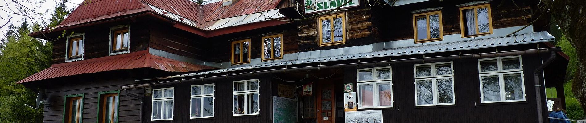
Trail created by Obec Morávka.


Website: https://www.beskydy.cz/content/beskydy-moravka-naucna-stezka-wolfram.aspx
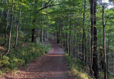
Elevation profile

Photos

Positioning

Country:
Czech Republic
Region :
Moravia-Silesia
Department/Province :
Moravskoslezský kraj
Municipality :
Horní Lomná
Location:
Unknown
Start:(UTM)
327763 ; 5491761 (34U) N.

Trails nearby

Trail On foot Košařiska - NS Po stopách salašnictví - Photo
On foot
GUIDE+

On foot

Easy
Košařiska, Moravia-Silesia, Moravskoslezský kraj, Czech Republic
6.1 km | 10 km-effort
2h 17min
Yes
Trail On foot Morávka - [M] Uspolka-Morávka - Photo
On foot
GUIDE+

On foot

Easy
Morávka, Moravia-Silesia, Moravskoslezský kraj, Czech Republic
7.3 km | 10.4 km-effort
2h 22min
No


Close
My subscriptions