


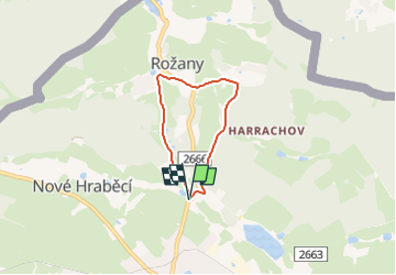

7.3 km | 10.7 km-effort

Tous les sentiers balisés d’Europe GUIDE+


FREE GPS app for hiking
 SityTrail
IGN / Geographical institutes
SityTrail World
The world is yours!
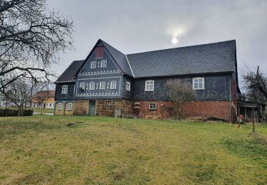
Trail On foot of 3.9 km to be discovered at Northwest, Ústecký kraj, Šluknov. This trail is proposed by SityTrail - itinéraires balisés pédestres.
Trail created by SŠ lesnická, Šluknov.
zakresleno podle cedule s mapou NS umístěnou pod Šluknovským zámkem


On foot
On foot
On foot