


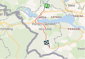

6.6 km | 8.3 km-effort


Tous les sentiers balisés d’Europe GUIDE+


FREE GPS app for hiking
 SityTrail
IGN / Geographical institutes
SityTrail World
The world is yours!
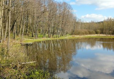
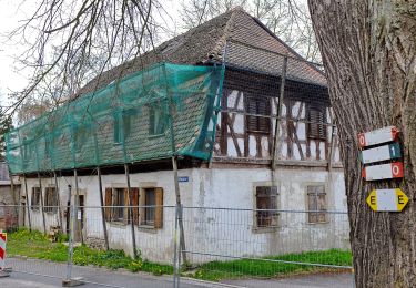
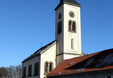
Trail On foot of 5.6 km to be discovered at Northwest, Karlovarský kraj, Cheb. This trail is proposed by SityTrail - itinéraires balisés pédestres.
Trail created by cz:KČT.


On foot
On foot
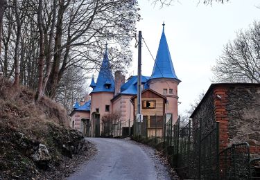
![Trail On foot Cheb - [Ž] U hráze - Zelená hora - Photo](https://media.geolcdn.com/t/375/260/5acef8a2-f78f-4655-8ffe-bdc02137259a.jpeg&format=jpg&maxdim=2)
On foot
On foot
On foot
On foot
On foot